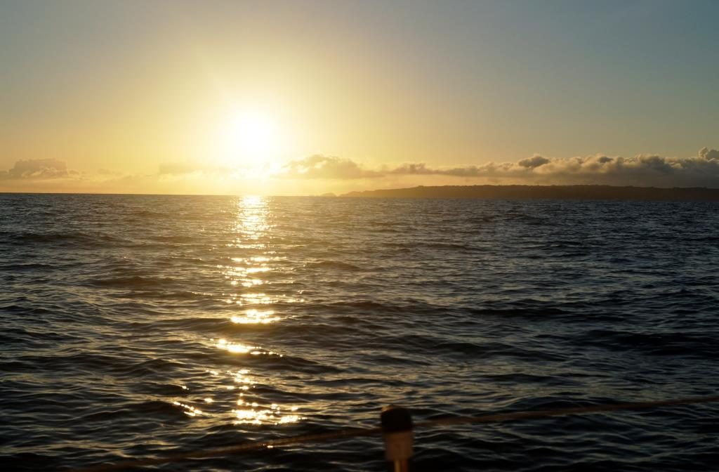
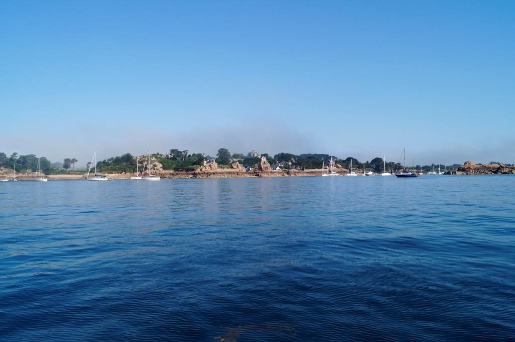
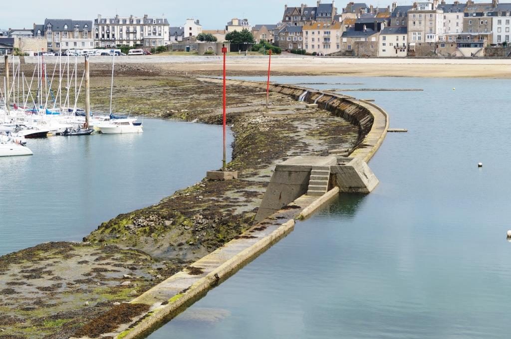
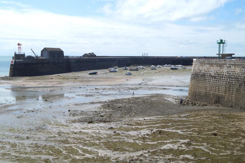
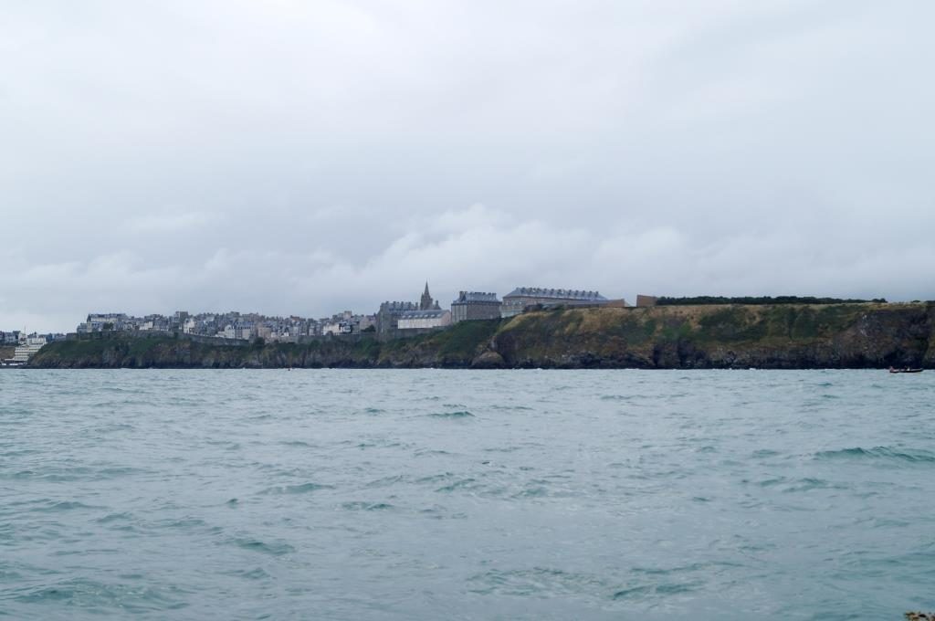
Juli 24 – St. Peter Port – Guernsey
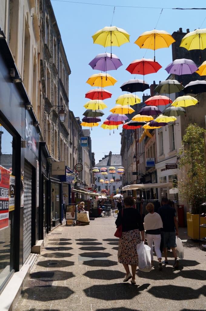
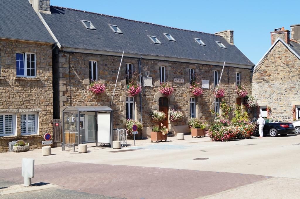
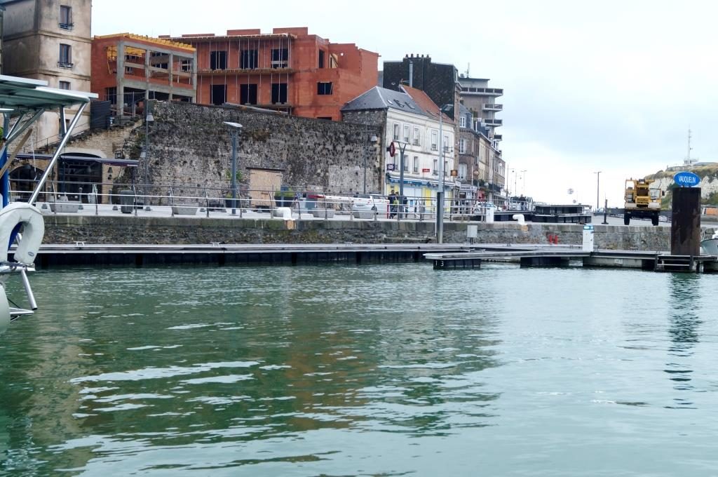
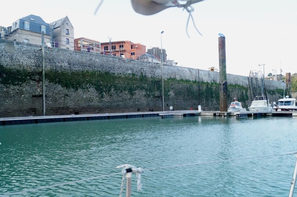
Cherbourg had a certain appeal for us, so we treated ourselves to a 2-day stay here. The harbour is a good place to moor, good sanitary facilities, good for provisions, good for repairs, but there is nothing more to be said about the harbour and its immediate surroundings. The town is more interesting, much of it is typical of France, and we could also reveal the secret of why it smells like the south here. It’s because of the plants, coupled with sea air and warmth.
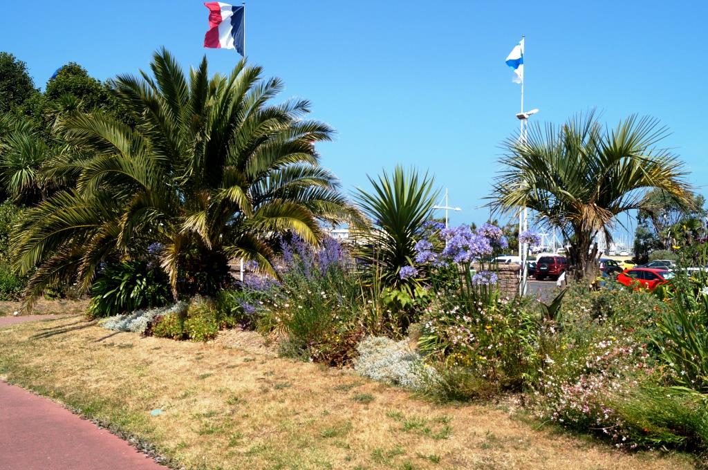

Something like this grows everywhere on the roadside here.
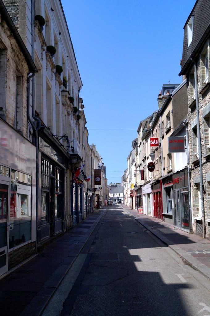
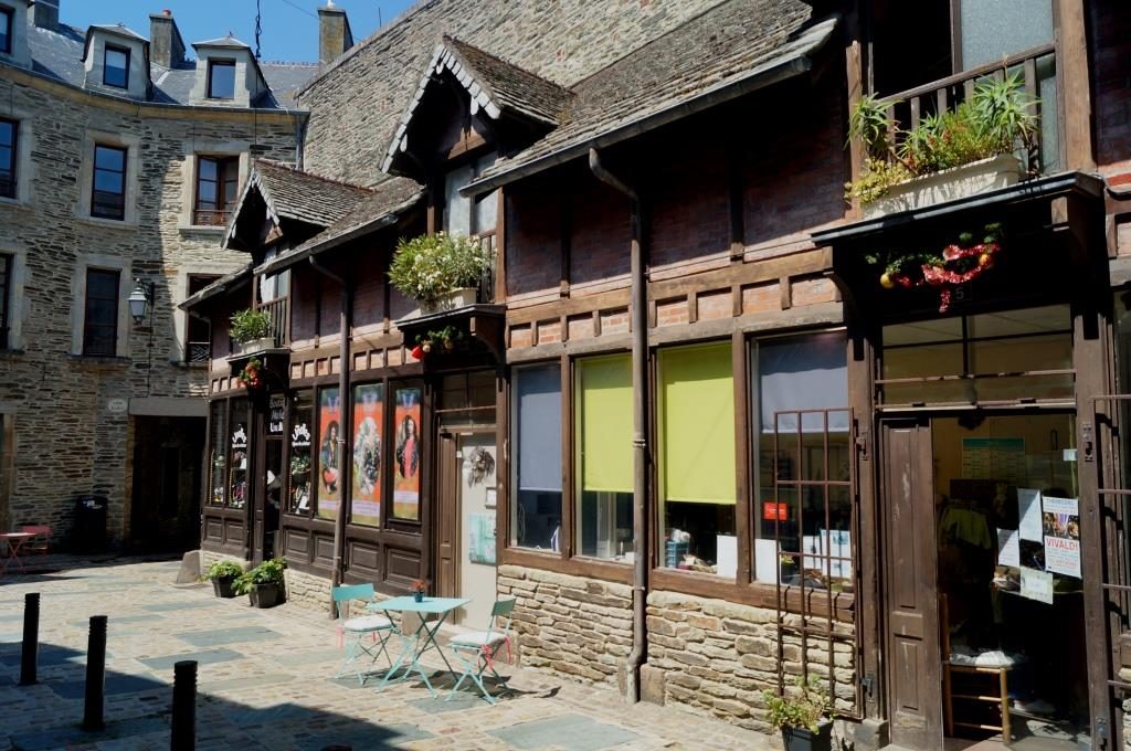
Lots of old buildings, some of them steeped in history.
And of course shopping in the French-style.
Cherbourg, like Le Havre, is one of the big port cities, with all the industry that goes with it. So not everything is touristy here, but there are many exciting places to discover. But we still want to go to the Channel Islands.
On Sunday we continued under motor, the summer shows no mercy. That’s why we decided to take the shortest route to Diélette, not straight over to the Channel Islands. And completely trusting the Reeds, which recommends Neaptide for these waters at a first visit, we got it. So no 8 to 10 knot current around Cap La Hague, but only 5 knots max.
Still quite impressive, with lots of eddies and a maximum speed of 11 knots according to the plotter over ground (5.5 knots own speed and 5.5 knots current).
Barbara found these phenomena eerie and referred to them as black holes in the water, shhhhllupp and you’re gone.
Diélette, about 12 nautical miles south of the Cape seems to be a forgotten area in France. Hardly mobile reception, no internet, but very nice and a cheap restaurant with delicious food. You can’t shop there, but there is a free shuttle bus to the next bigger village: Les Pieux. Also, here we stayed 2 days, but waiting- for-wind we call this no longer, maybe small-hope. No use, of course. This high pressure, that now also plaguing Central Europe, is tough.
So once again, instead of wind petrol, what a luck to find supplies everywhere.
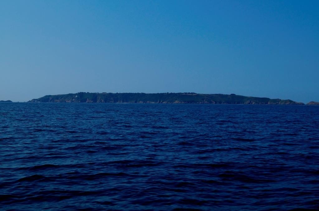
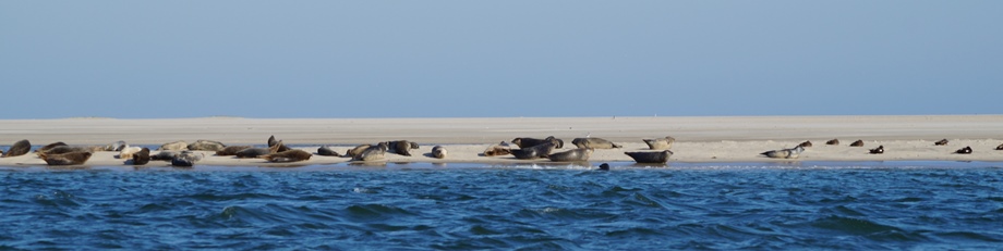
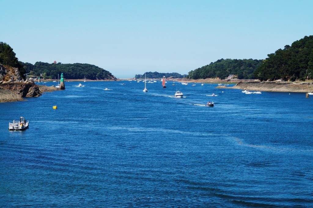
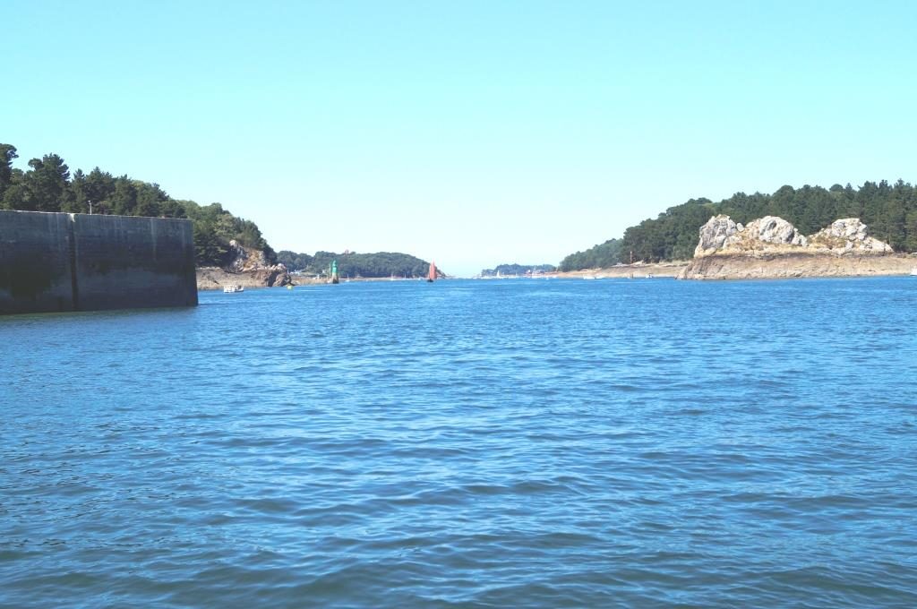
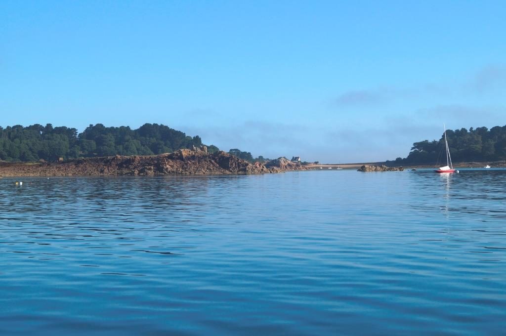
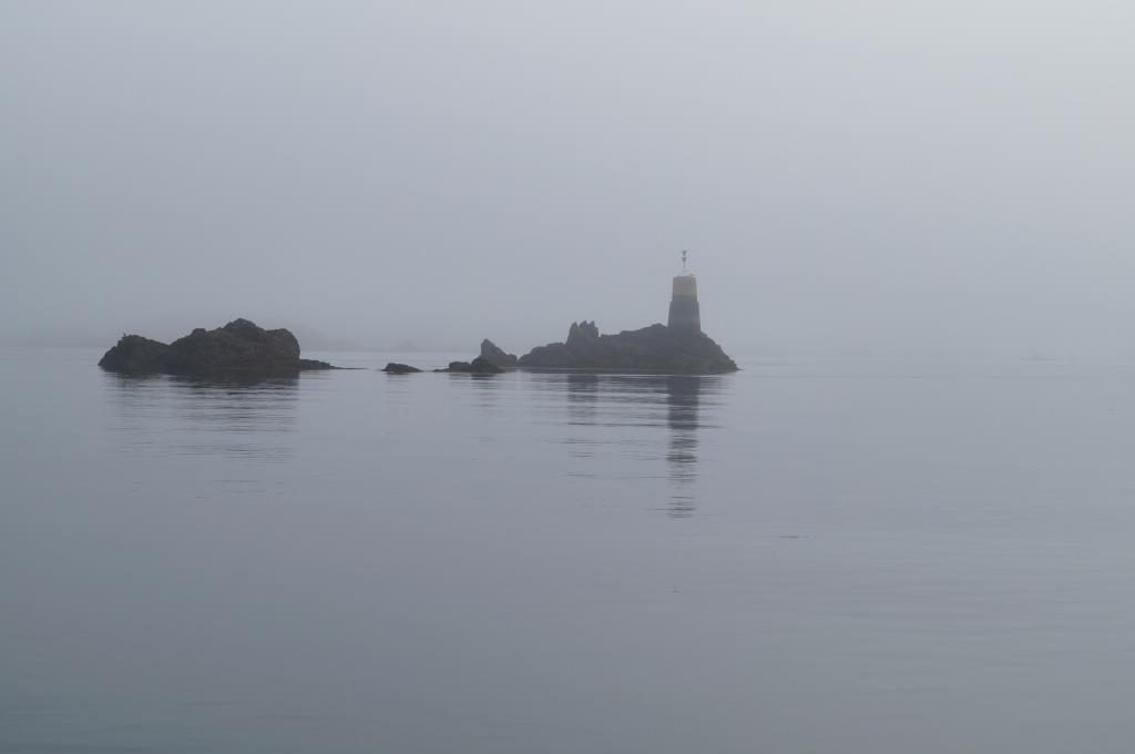
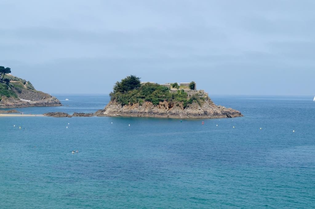
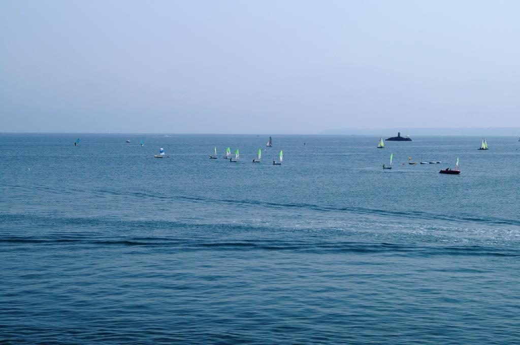
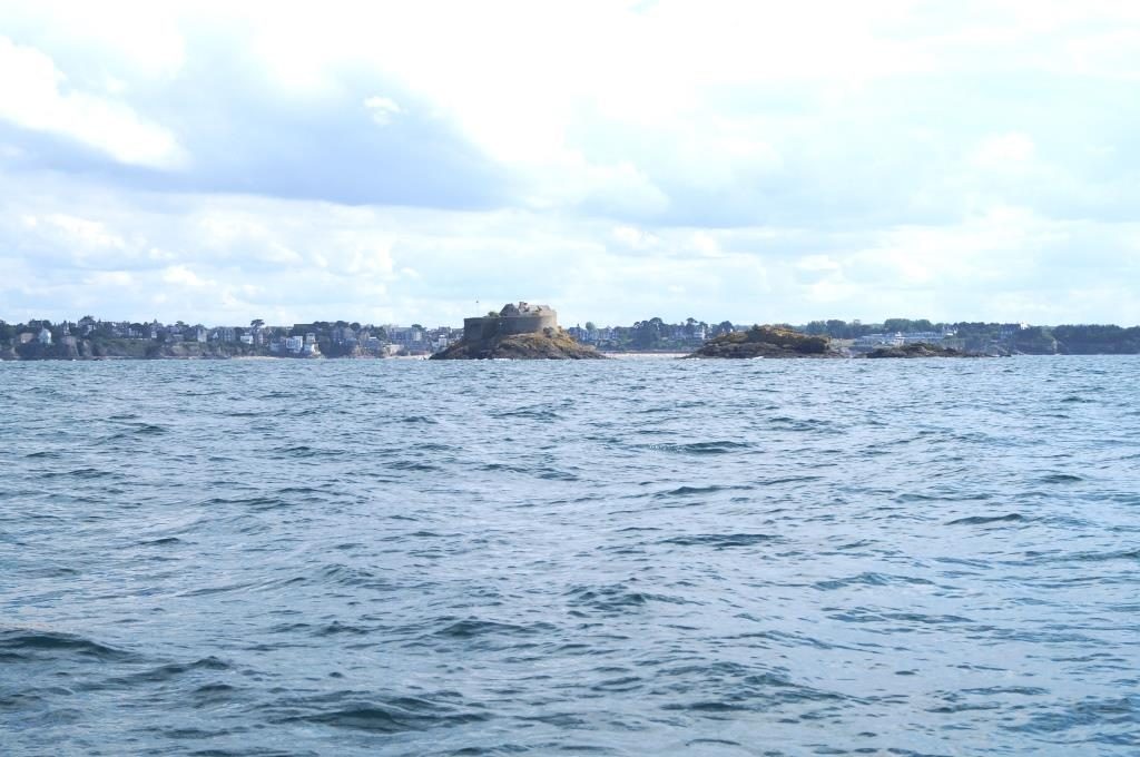
We could see Sark quite early, the island east of Guernsey is very high. Between Sark and Herm we drove through the Big Russel and were accelerated again to 8 knots, just before the end of the tide. With these rocks on all sides, one should not dream.
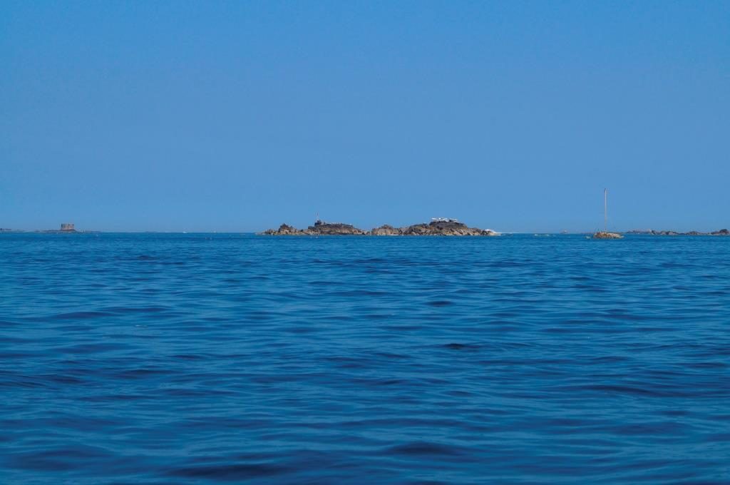
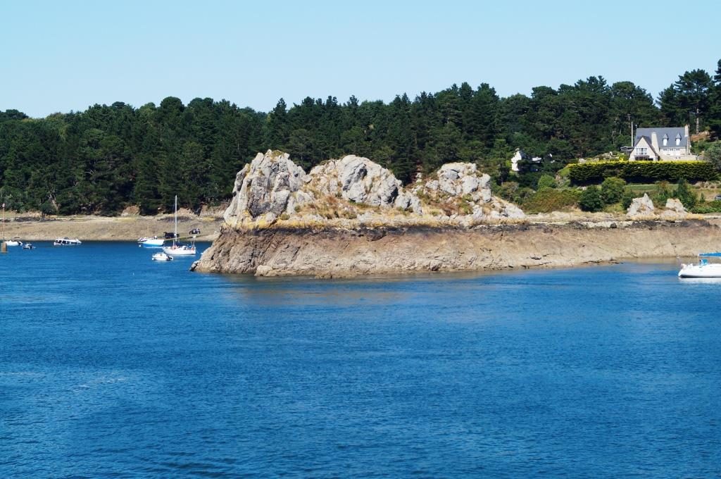
Not only above water as seen here, but of course they exist below the surface as well. We wondered how many ships wrecked here when there were no good nautical charts, let alone electronic means of navigation.
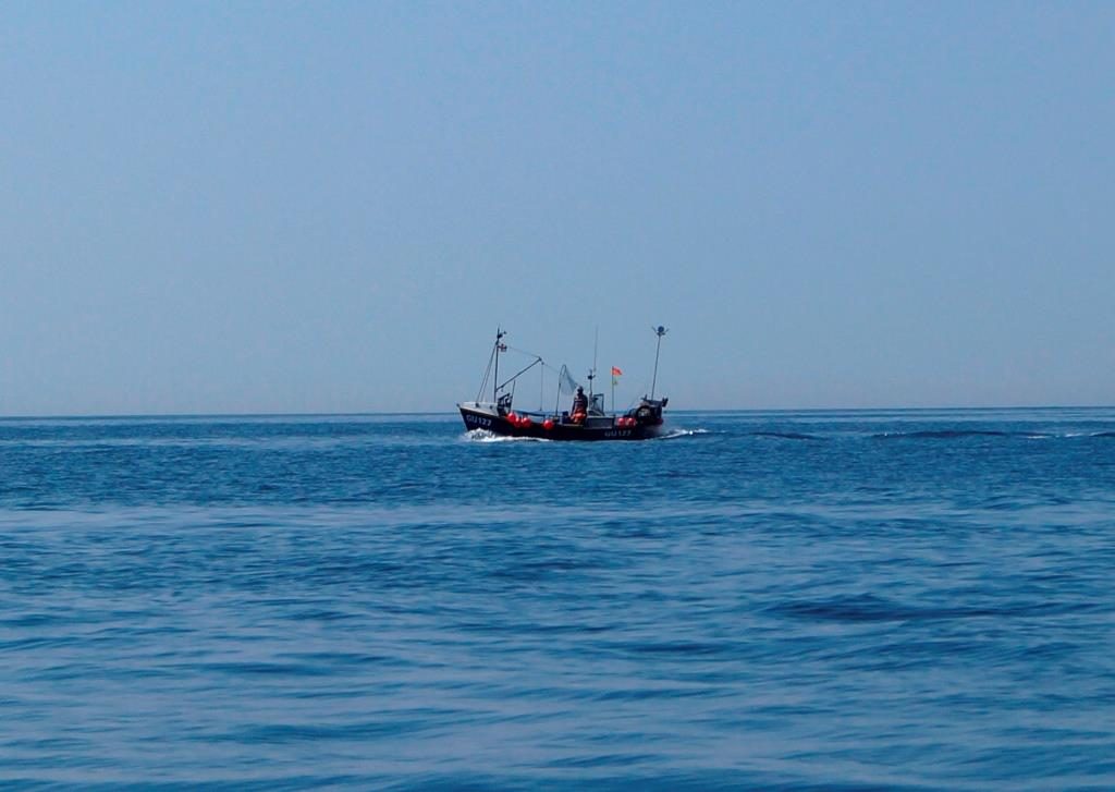
A big fishing boat? Nah, look at this giant on the boat!
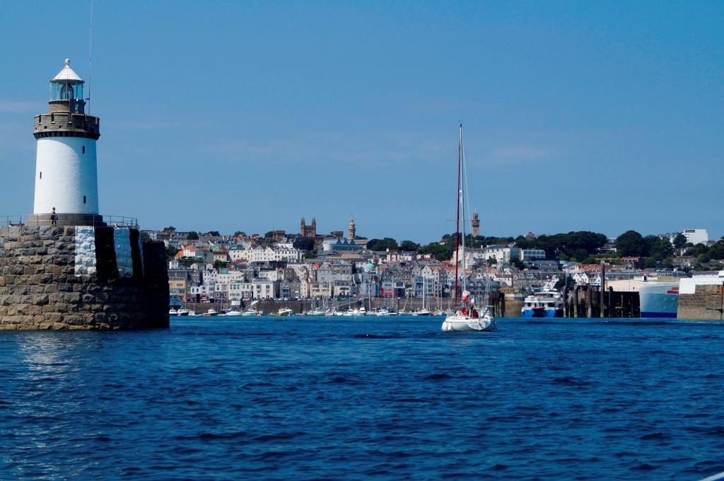
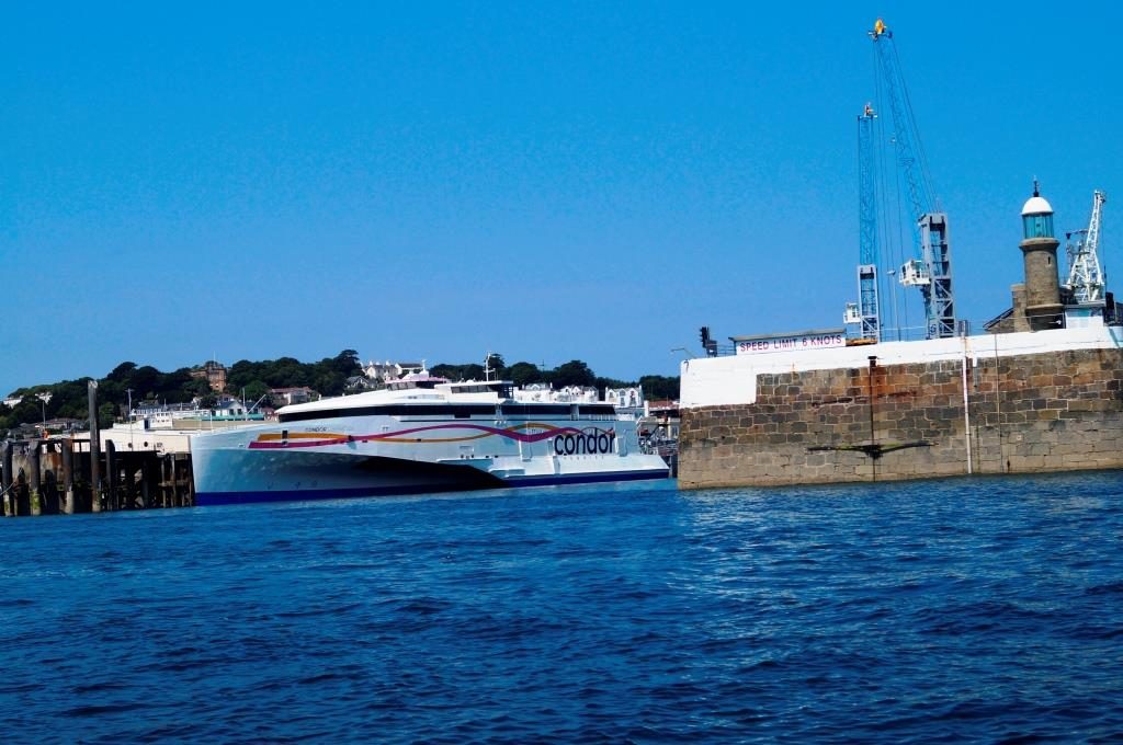
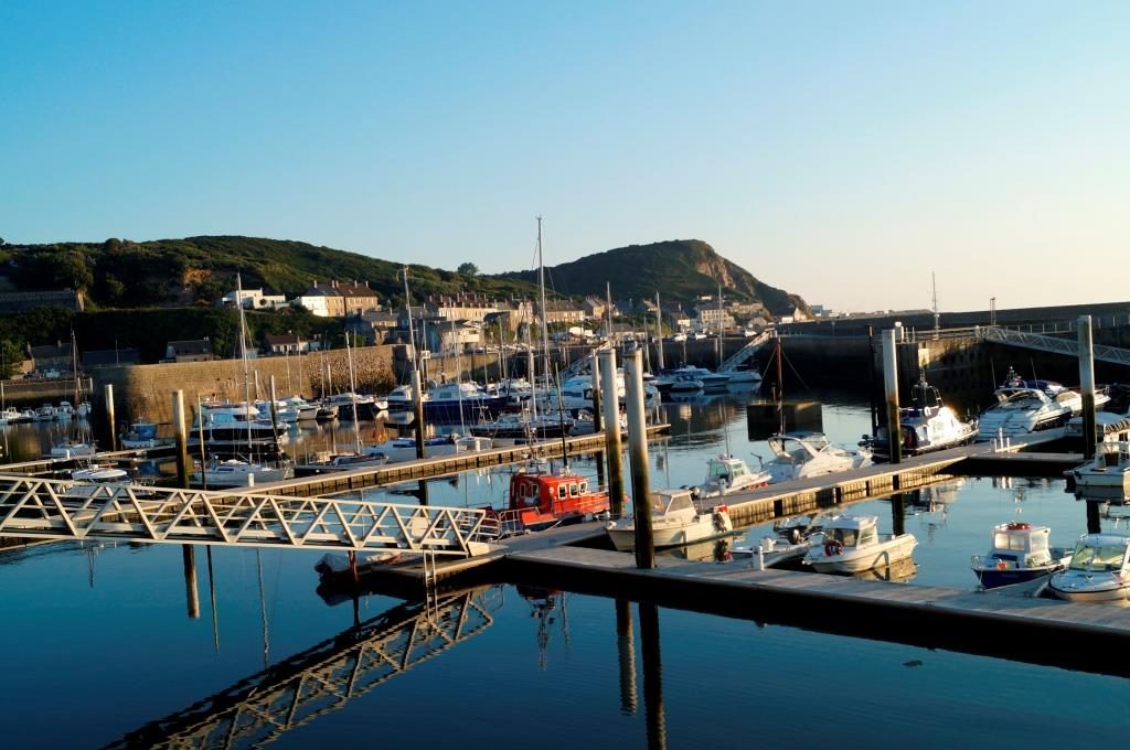
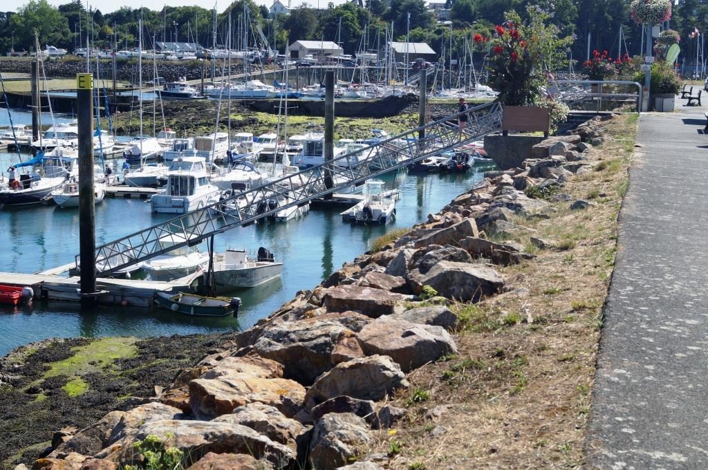
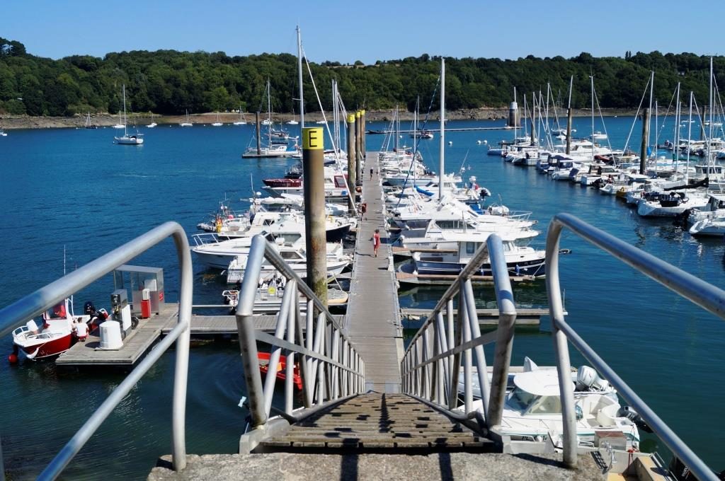
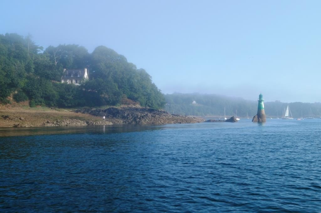
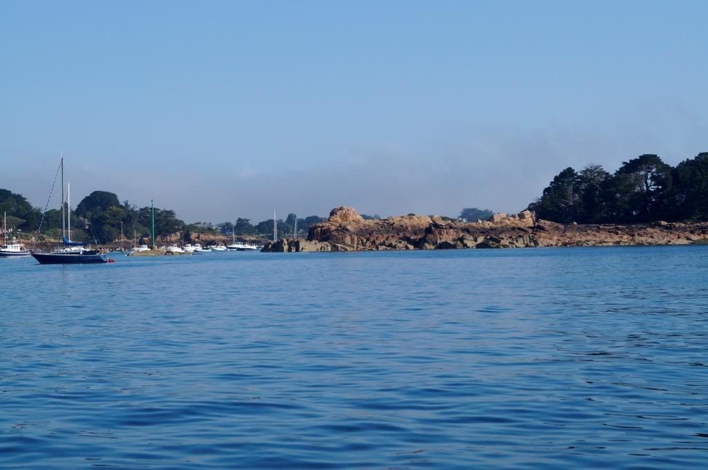
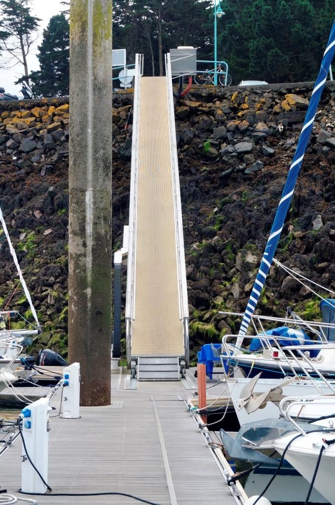
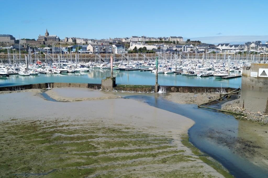
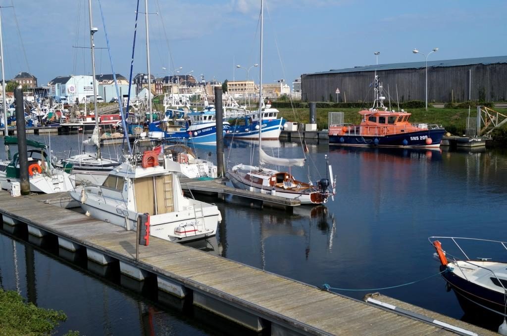
The entrance to the outer harbour, where a large autocat is moored.
The entrance to the marina, well, we just have to wait 2 hours. I thought we were arriving at the right time, but I had lost track of the stupid time difference. Even if these islands are autonomous (e.g. with their own money, which you can only get rid of here), they have taken over the time and the left-hand traffic from Old England. But what kind of Customs Declaration! No, we didn’t write down the bananas we were about to eat, and there were no dynamite or drugs on board either. But we did have the fun of writing down 2 bottles of red wine and 1 bottle of cider.
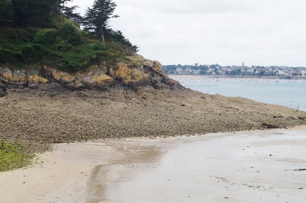
Are we even further south here? It seems like the promenade in Funchal on Madeira.
August 01 – Saint Helier/Jersey
Since today I am single-handed again. In Saint Helier we got up very early to be at the airport around 6am local time. The taxi we ordered at the harbour didn’t show up and we had to find another one very quickly. But everything worked out and Barbara is already back home.
Now I’m working through “amica” to set everything up again so that every move can be carried out blindly. Unnecessary things are far away, doing important things like filling up the cooker and petrol, and wash the laundry once again. There is a big difference between travelling alone or sailing two-handed. The mind works differently, not, you can do that later, all of a sudden there is a priority list again, and it wants to be worked off. The requirements of single-handed sailing determine the procedures on board. There is always something to do, the day is never boring.
And then, I have to tackle the further planning. The summer remains and the north-easterly wind directions with it, this could tempt me to sail on and on. No, I have to set a turnaround time and that should mean being in Cherbourg by mid-August at the latest. Until then, I’ll be drifting around the north coast of Brittany, sailing between rocks and heading for dry harbours over hard ground. Always calculating everything and what doesn’t stay in my head goes on a pilotage, as the English call it: a plan of how and where you want to and can sail, high tide times, currents, time windows, alternatives, buoys, courses up to drawings to find ways. Plotters and charts are nice, but single-handed they are difficult to use. You can’t always have the charts out, and you can’t zoom in and out on the plotter all the time. Besides, eddies and races are only roughly depicted on them.
Yes, these eddies and races. We passed through both on the way to Jersey on the south coast of Jersey. They were marked on the charts (but not on the plotter), so once you’re in there you have no choice but to go through. Why not set the right course before you reach them? This perpetual sailing by calm temps you to an only roughly determine the course, as you are sailing under motor and can then comfortably do everything. Well, that didn’t work.
What do these eddies and races actually look like? At first, you think, that are some kind of waves that just happens to pile up a little in these places. Yes, we had swells that were up to 1.5 m high, but also 100 m long, so it could not be this. Either there was no wind for such waves. Overfalls by current? That doesn’t fit either, you also need wind. The waves are steep and high, and it is difficult to steer through them. Also, it is irrelevant wether you take this under motor or sail. It’s just rapids, and it’s not a choppy sea. And eddies means that this all happens in a circle: current eddies. Waves come from different sides, and you are taken off course a little, just turning like a whirlpool. It is important to prevent the boat für broaching, because it’s not only uncomfortable and a bit damp, you have to be careful when steering.
So for next time: always study the charts exactly, note such danger zones and, above all, plan better for the tidal conditions, because at zero current there is nothing going on in these places.
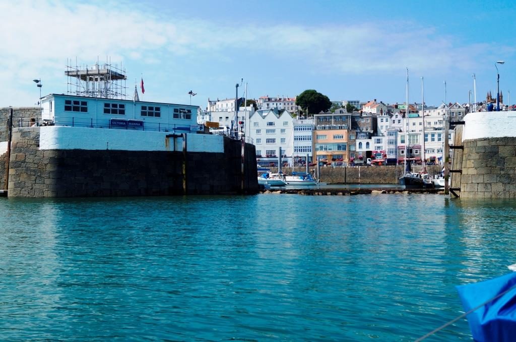
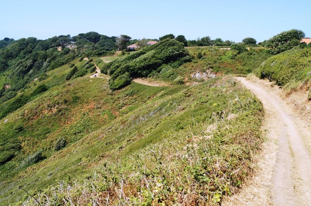
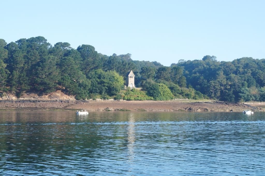
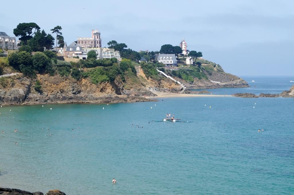
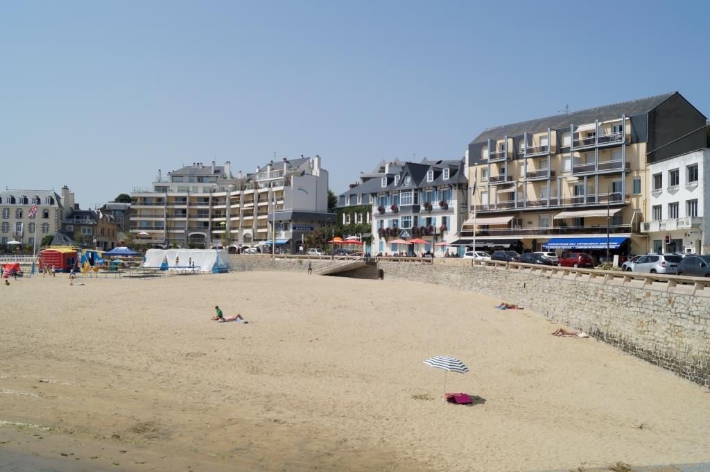
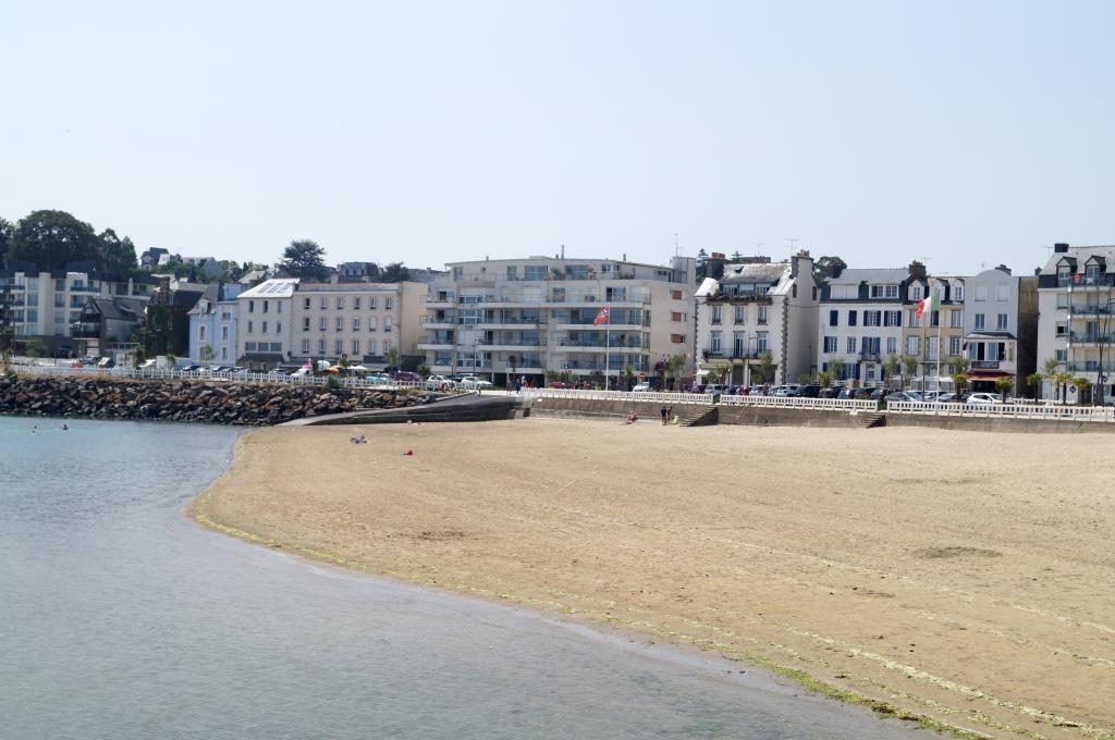
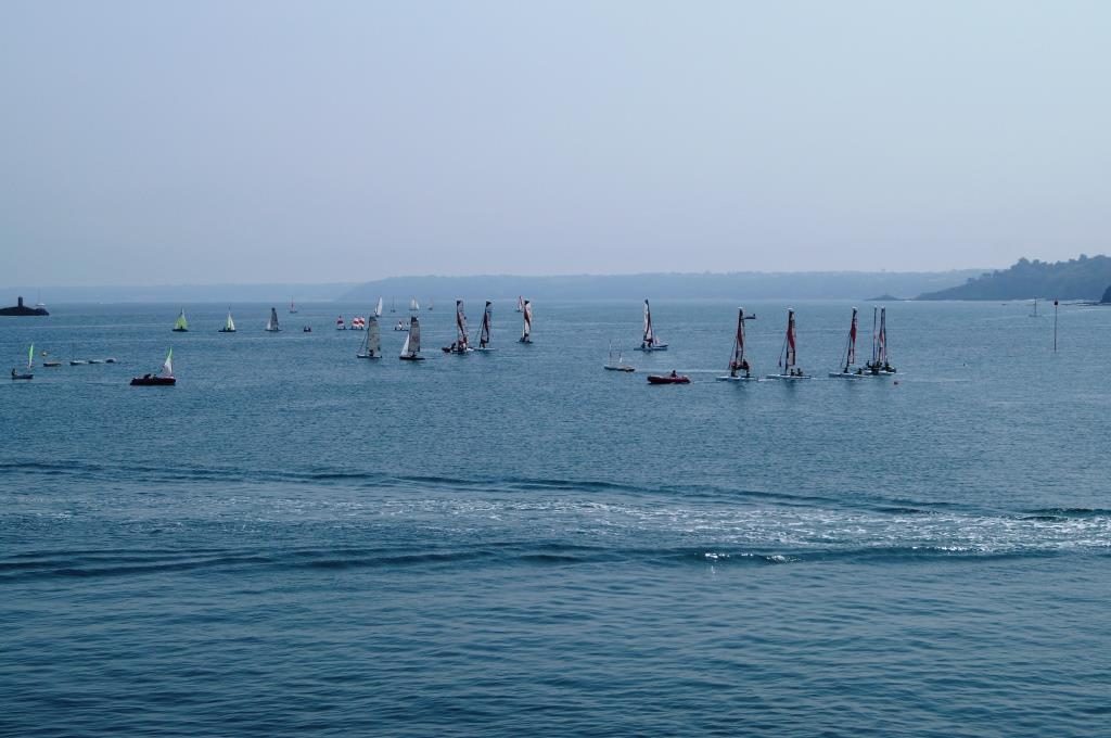
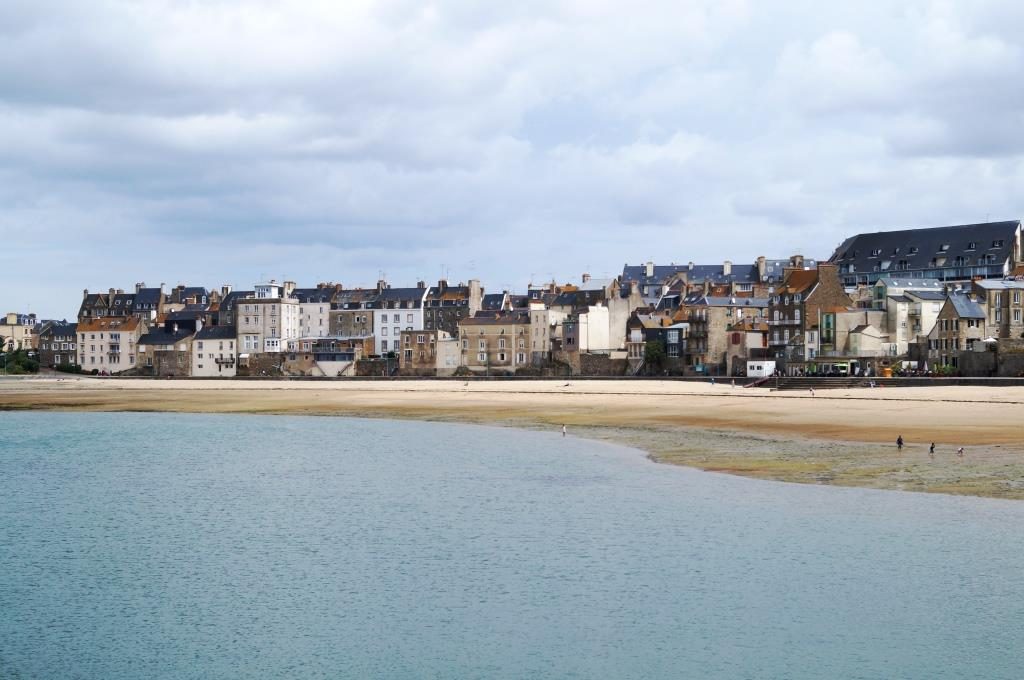
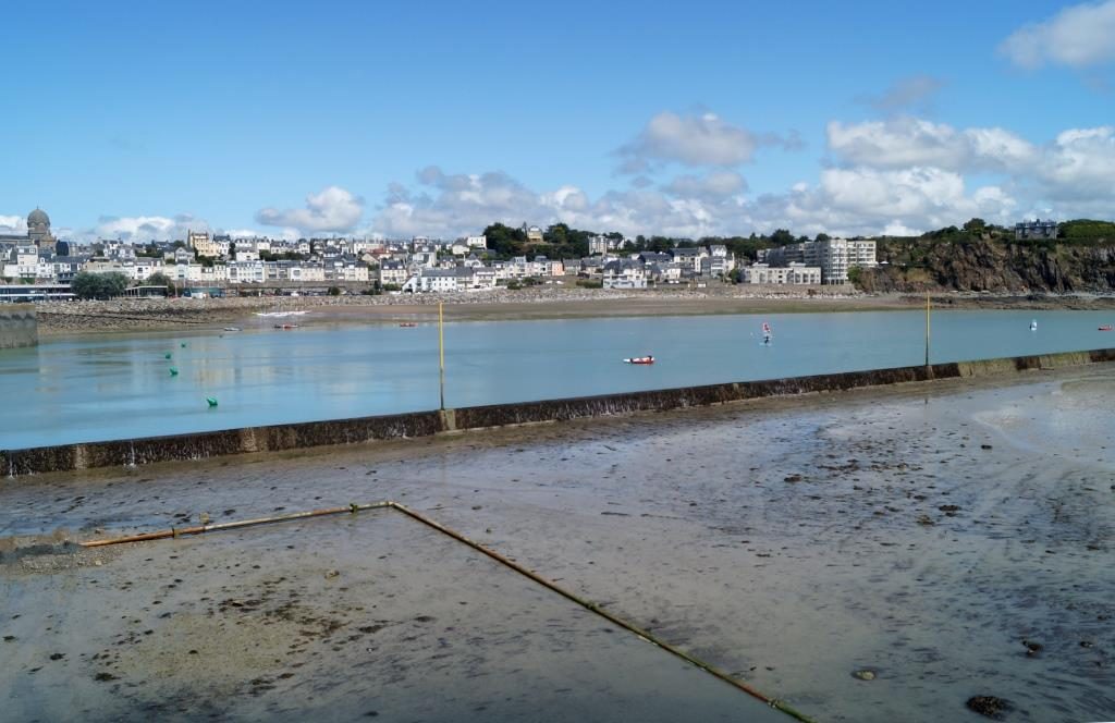
We explored Guernsey intensively, the city, the gardens, the north and south coast, did some hiking and a round trip by bus. You can’t miss the banks and other financial institutions. All the big names in Europe are represented here, including Deutsche Bank, of course. On the tour, we noticed the well-kept houses, gardens and landscapes – this is where money is at home. Dilapidated buildings are almost impossible to discover. The business models of the islands of Guernsey and Jersey are well known: hardly any taxes, no need to look too closely at what is actually going on – and all the financial jugglers are here.
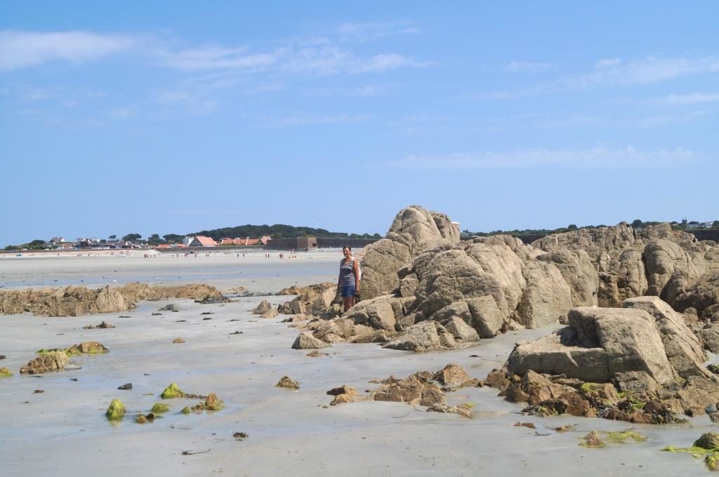
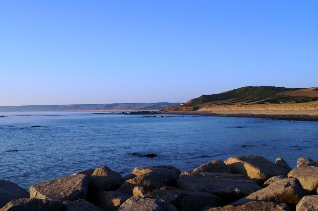
Vazon Bay on the north-west coast, supposedly the cleanest beach in Europe. The tidal range is quite good here, and where Barbara is standing, the rocks are also underwater at high tide. So be always careful when swimming!
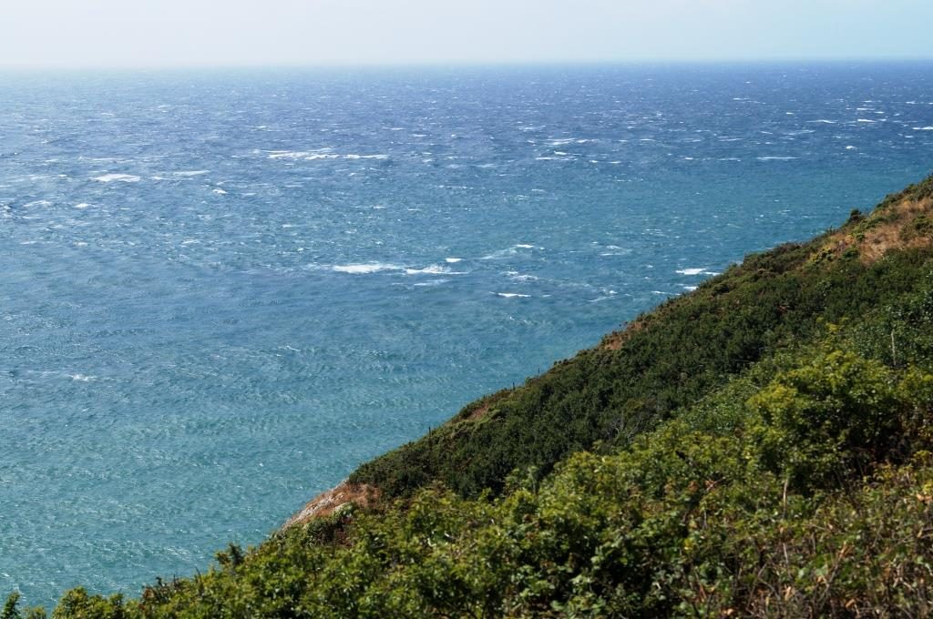
The south coast from the cliff walk, the wind blows with 6-7 Bft for two days with gusts up to 8 Bft on top. Accordingly, a very big sea built up.
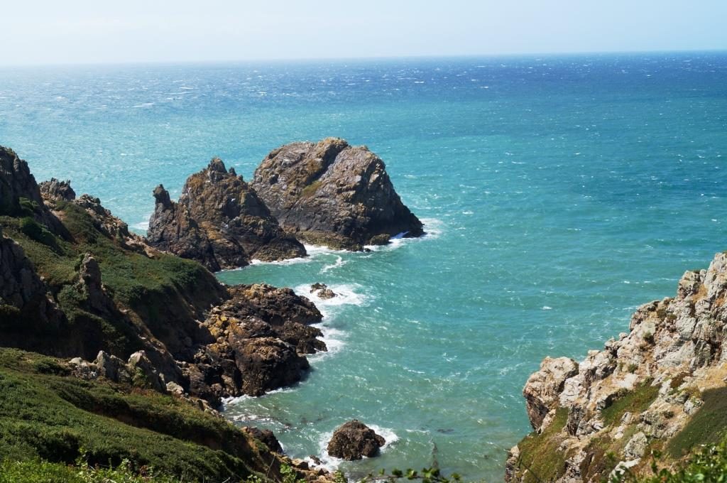
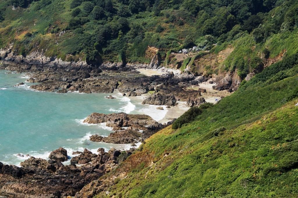
The rugged coastline is simply beautiful and every 100 m we found different perspectives.
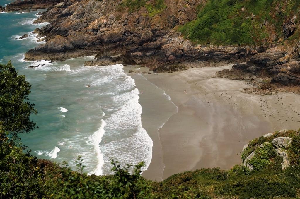
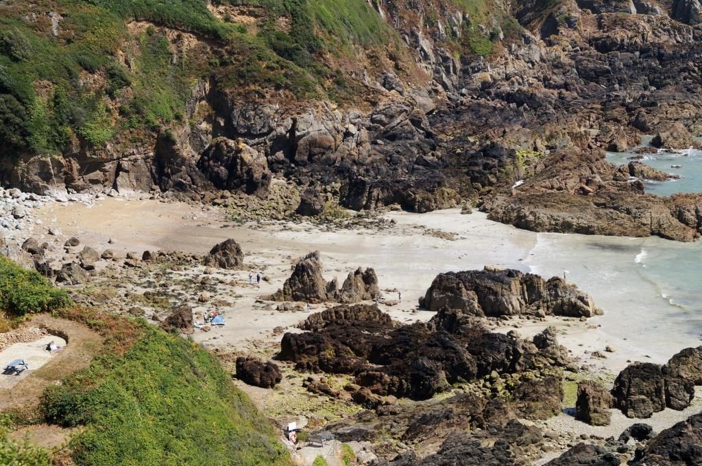
Lonely beaches between the rocks, we avoided the descent.
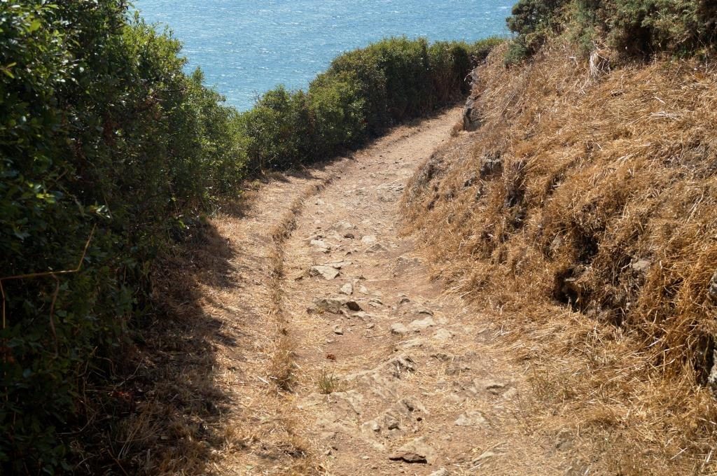
We found the cliff walk itself very strenuous. We didn’t have hiking boots on board either.
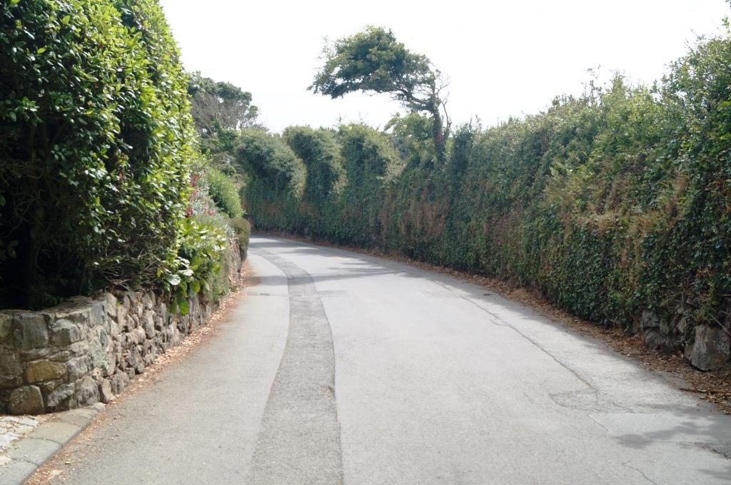
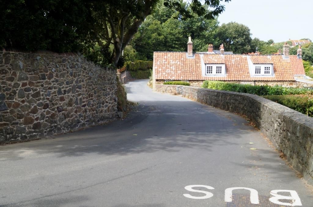
On these roads the traffic moves very slowly, as you can see, this is necessary. Where to go out of the way. Our bus also drove along here.
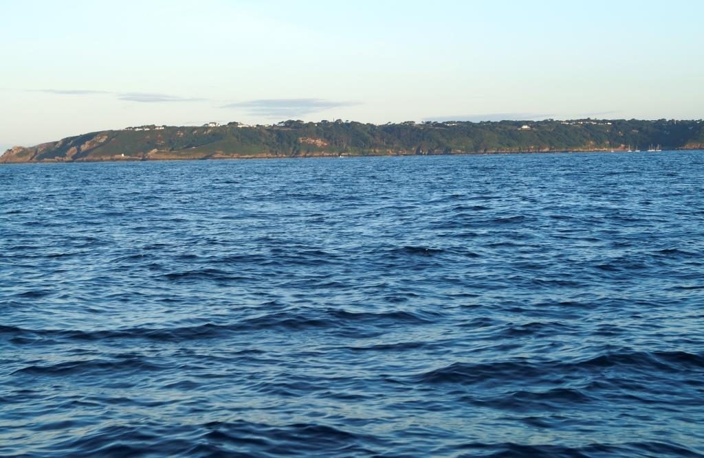
Morning farewell to Guernsey, departure was at sunrise.
August 04 – Lézardrieux
On 2 August I was finally able to sail the route Saint Helier – Lézardrieux (pronounced: Lesadriou) again. According to the plotter, that’s just under 48 nautical miles, which took me 9 hours. At sea there was a bit of a current, and just before entering the river Le Trieux unfortunately I had a strong current diagonally from the front. This forced me to sail hard on wind for half an hour, because the shallows with visible rocks were slowly approaching. From the Ile de Brehat onwards, the current went quickly up Le Trieux, but I had to navigate carefully here, the rocks were very close by and there were also cross currents. That’s why I can’t show you any pictures of this adventurous passage, as I was constantly busy navigating, observing the course and reading the charts. I hope to be able to take some impressive pictures on the way out.
In the evening there was a nice cockpit talk with Frenchmen on board, Dutchmen were also present and so the conversation was held in English, questions included. The Frenchman asked me whether I was more of a navigator or more of a restaurateur, whether my boat was more on land or whether I was on the move a lot. Then the deck and the painted surfaces of amica were then the subject of conversation. And of course there was a lot of talk about beautiful Brittany and especially the Cotês d’Armor (loosely translated: Coast of Armour), the local stretch of coast. Roscoff, my final destination, would not be worth it.
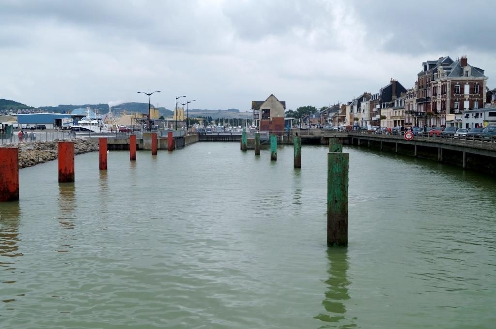
In general, here many harbourse are only open for a short time at neap are, often only 1 to 2 hours around high tide. Ports accessible at any time would be Roscoff about 45 nautical miles to the west, Tréguier and Portrieux to the right and left, Le-Guildo just before St. Malo and St. Malo itself. There is no great choice.
And today, due to the morning fog and the somewhat unfavourable wind direction NW, I decided to turn around here in the middle of northern Brittany and sail along this part of the French coast via St. Malo and Granneville, up to Cherbourg. From Wednesday onwards, the wind is supposed to shift to the west with the appropriate roar (thunderstorms), and it seems that this wind direction will stay that way for the time being. A few days of rain are also forecast, finally something different from this monotonous burning sun. Although at night it’s quite fresh here, especially with the northerly wind directions, around 14°.
And now some documentary.
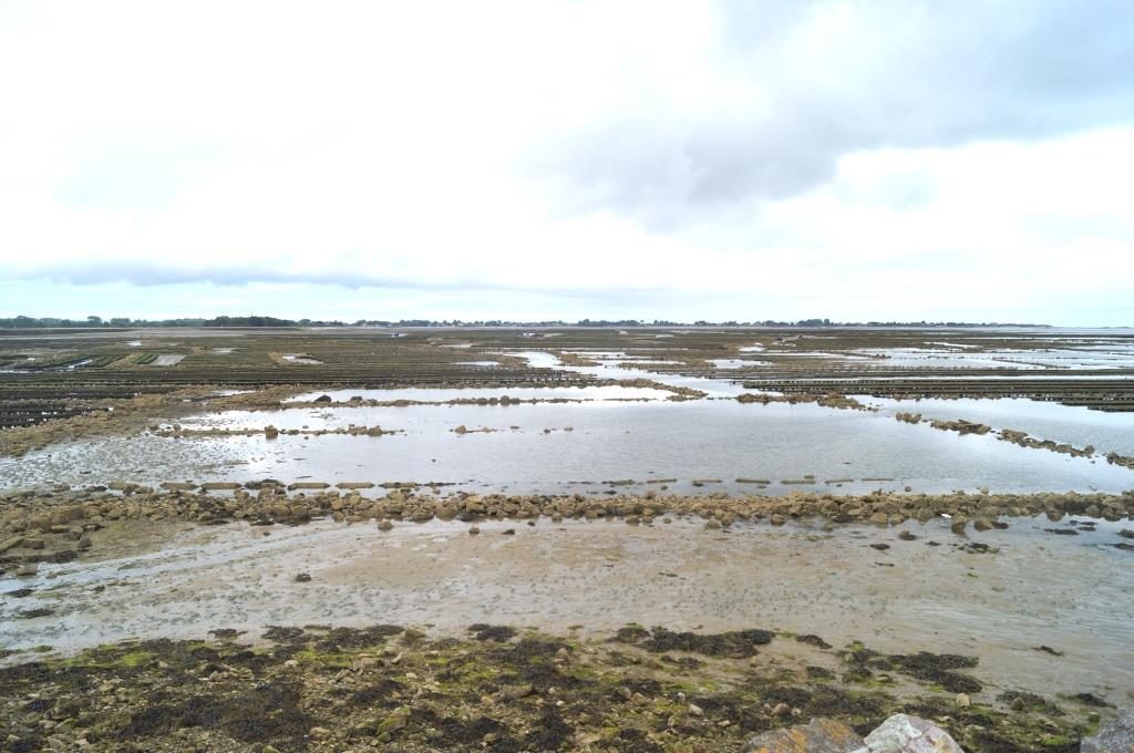
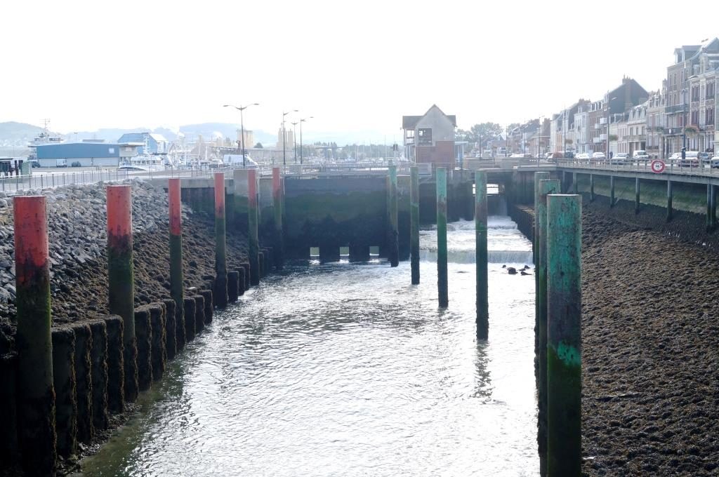
The river Le Trieux at low water, basse mer. The dark edge in the rocks shows the normal tidal range of up to 9 m, now there is neap tide, only 6 m difference between basse mer and pleine mer.
Access to the pontoons is also not so easy at low tide.
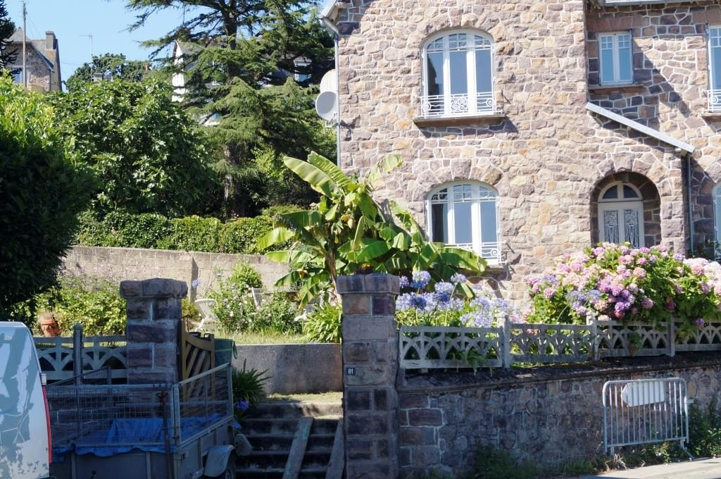
A big banana in the garden!
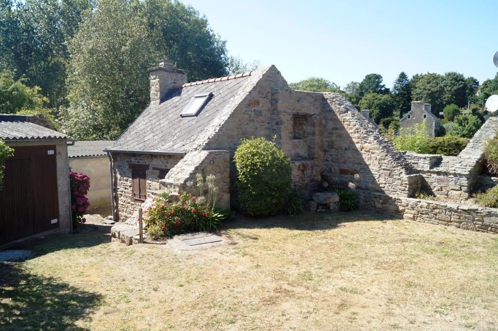
Typical Breton construction.
August 05 – Portrieux
As promised, today there is a multimedia documentary about the exit from Lezardrieux. Leaving this rock garden was a bit adventurous because it got very foggy in parts. But ‘out’ is always a bit easier than mastering such passages coming from the sea.
First, pictures and videos of the first 4 miles on the river Le Trieux.
I used the passage south of the Ile de Brehat. Here, entirely not unexpectedly, denser fog moved in, but with modern navigation aids there is no problem. You can see on the videos that there was a good current here. According to the chart, I was supposed to pass over spots with a depth of 1 m, of course plus neap and plus rising water, theoretically 3 m – 4 m. But the depth sounder never showed less than 8 m, I must have just missed these spots. Nevertheless, for some time I steered highly concentrated according to the plotter (noting the depth lines) and visibility, the rocks sometimes appeared frighteningly close.
At the junction into the southern passage.
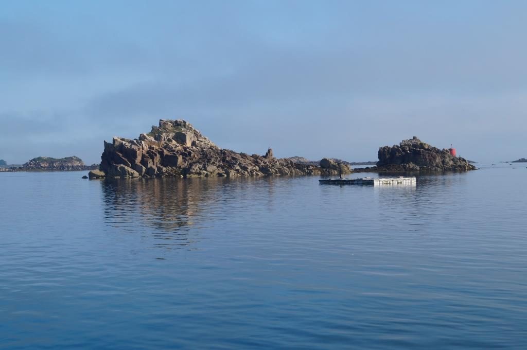
The south side of the passage with an interesting harbour, that you won’t find on any map.
Somewhere there is the Ile de Brehat, but you can already see the fog coming from the right.
The bizarre rocks of Ile de Brehat, the high-water edge is clearly visible. At high tide, some rocks are underwater.
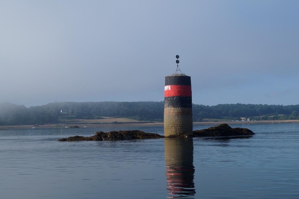
Tons look like this. So, always keep a good distance!
He must know his way around, I myself can’t see much.
Suddenly the fog lifts and the Ile is visible.
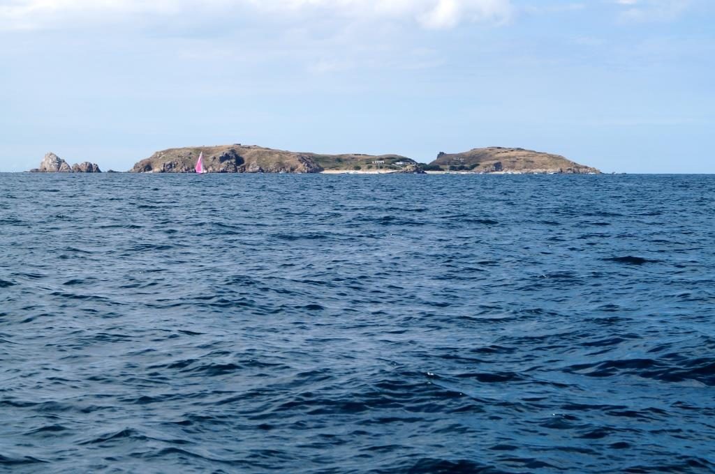
Adventurous anchorages, that must be a beautiful island.
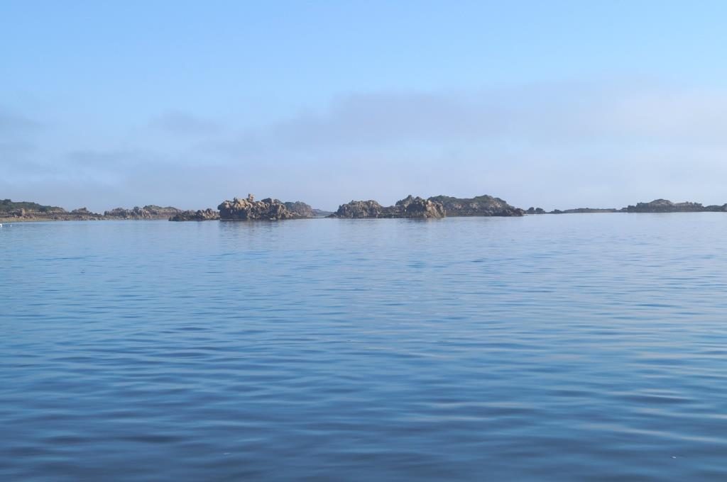
The southern part of the coast, also a rocky landscape with passages to Paimpol.
Those are not clouds on the horizon, that is the fog of horror.
August 06 – Saint-Quay-Portrieux
I am now definitely on my way back. From tomorrow, the wind turns to the west, just as I had hoped. I’ll head north via Saint-Malo, probably visiting all the harbours I’m heading for (Granville, Barneville, Diélette), even if their approaches dry out.
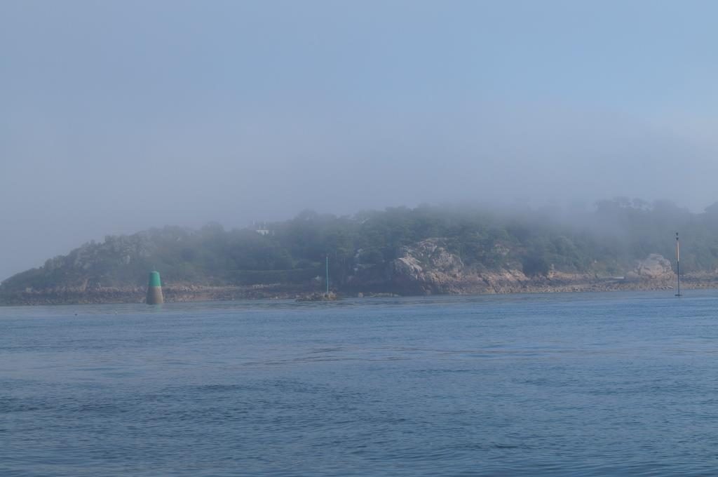
Here in Saint-Quay-Portrieux – or so they say in full – everything is more touristy again. There is a lot of sailing in the Saint-Malo Bay, which also seems to be an excellent area with many harbours, protected from rough seas and swells and with few currents.
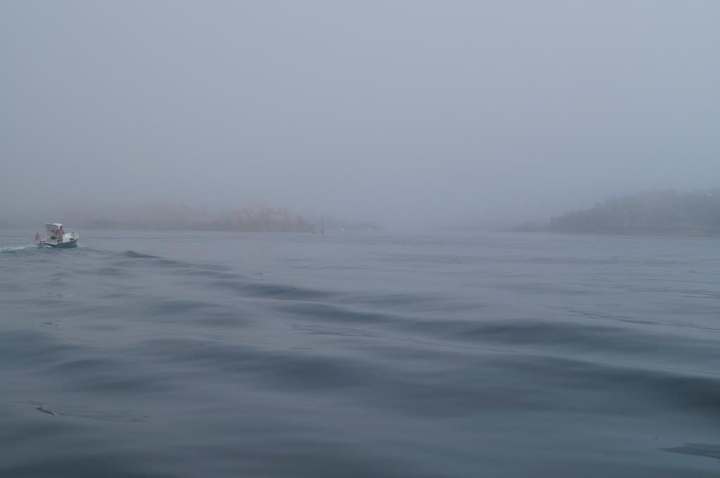
Because of the NE wind direction, I don’t set off. In addition, fog comes in again at 11 a.m., although it isn’t forecast for this corner. But with the wind direction, any haze in this corner is probably gather together and condens into fog. I have a lot of time today and so I make pictures again. First the fog.
The pier is about 400 m away, so the clouds wafted over it from time to time.
The coast also disappeare in the fog.
The hillsides are hardly visible either.
From the early afternoon on, the haunting is over, the sun come out and there was a bit of wind. It got hot and humid on board, so I went ashore.
This rock is called Ile de la Comtesse. What has this young countess done to be blessed with such a barren islet? House arrest?
This is what it look like on the coast in the sunshine.
The middle of the harbour skyline
But to the left and right of it you can see that tourist requirements often compromise aesthetics. After all, it’s about making money and not to save beauty.
The boats can be admire from the large restaurants at the harbour. As you can see, more than half of the boats are fishing boats. Pontoons 1 to 6 are for motorboats only, pontoon 7 for sightseers and pontoons 8 and 9 for sailing-boats.
Everywhere in France, a lot will done to make sailing fun for children and young people.
August 10 – Saint-Malo
If I have reached the westernmost point of my journey (3°05.9′ W) with Lezardrieux, now Saint-Malo is the southernmost point (48°38.4 N). After a lot of fog and a day of rain and thunderstorms, there is a window to Saint-Malo and I can actually sail most of the time. It is a strange feeling to navigate along the rocks. Again and again the anxious question arises, did I plan everything right? A constant glance at the charts or the plotter to make sure, but I is always on the right track. From Cap Frevel onwards there is an acceleration until Saint-Malo, where the current reach more than 3 knots. The approach through the flooded rocks off Saint-Malo also is not for the faint-hearted.
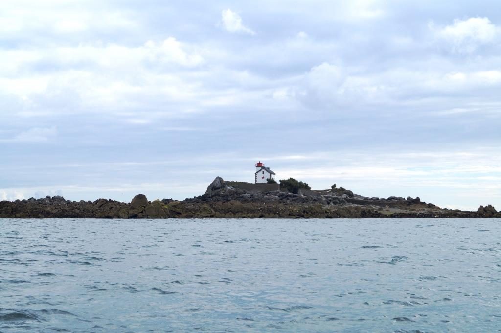
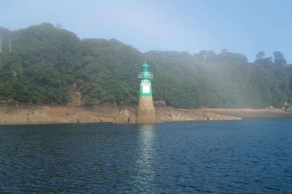
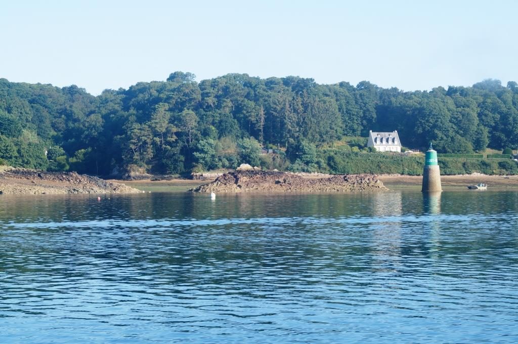
It’s nice when the rocky island has a lighthouse, you can see them for miles. But I don’t understand why many of these rocks have been given female names. Here is the Banc de Madam.
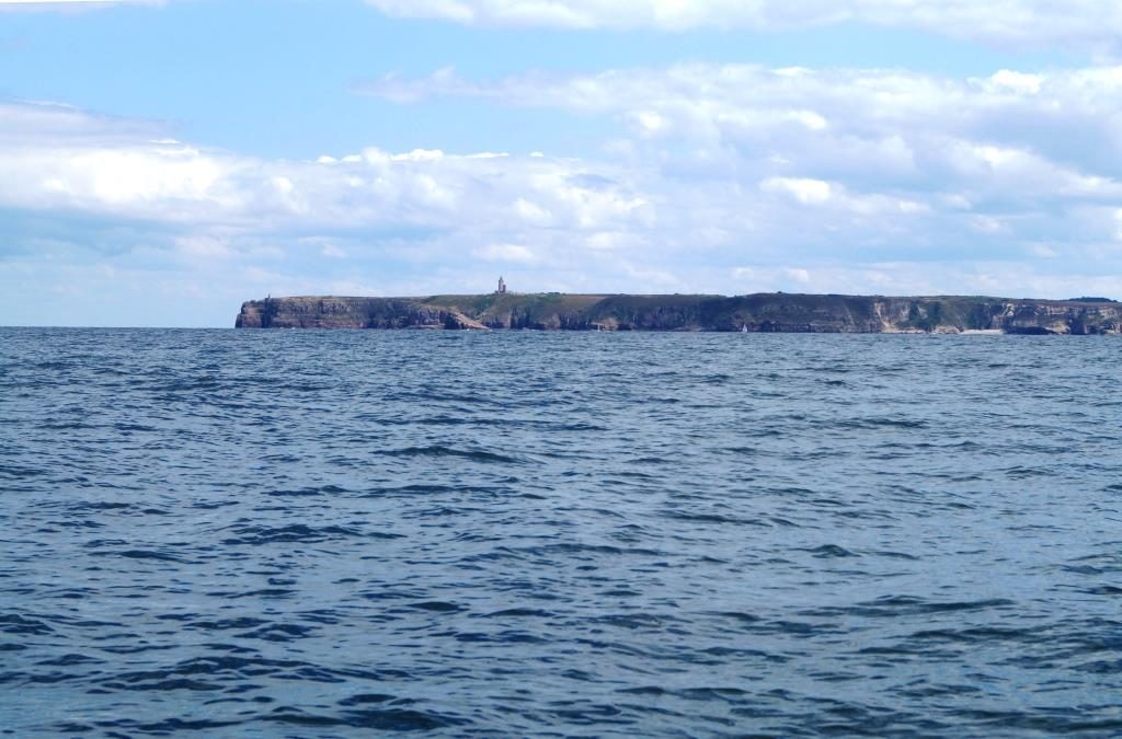
A little to the west (looking to the right) of Cap Frevel, Asterix and Obelix are said to have been at home.
The rocks off Saint-Malo.
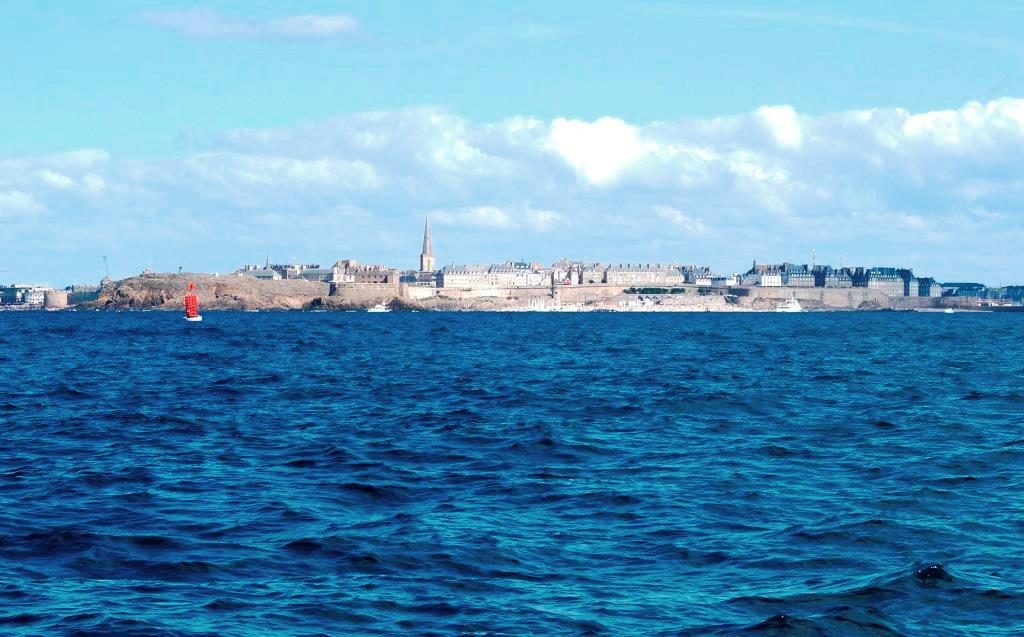
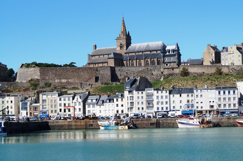
Saint-Malo, as seen on every postcard.
The other side of the river La Rance, Dinard.
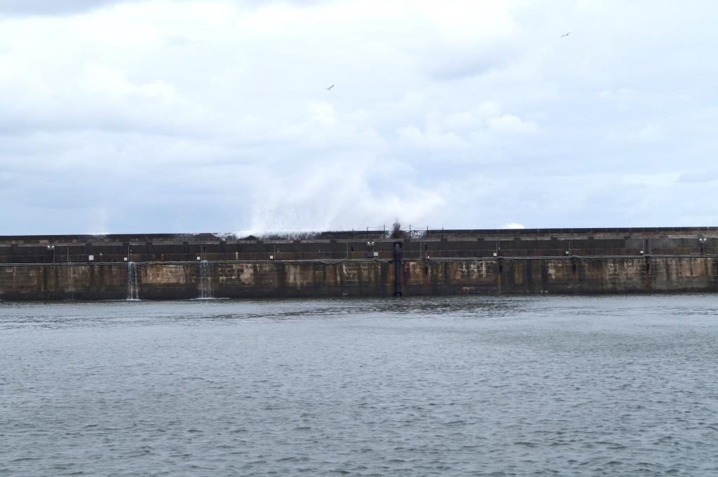
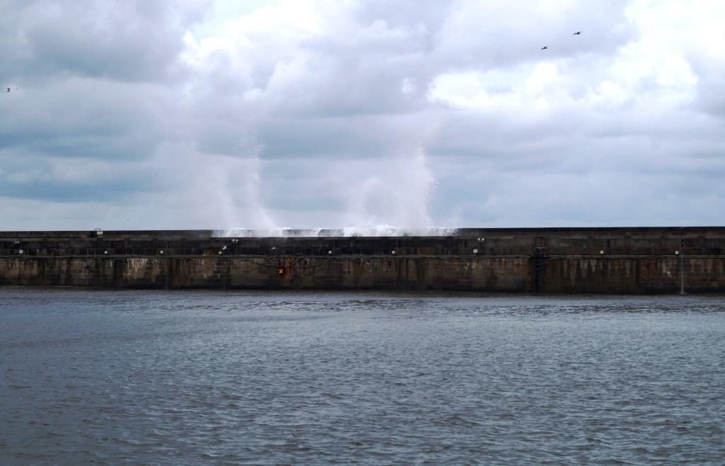
Here I am waiting for the next weather window after 2 days of more rain and strong winds. I’m not in hurry, because on next Sunday and Monday there is the monthly peak of spring tide and I shall beware of Cap La Hague. I don’t sail there than because of too strong a current. On our way west the current reached only at the peak 5.5 knots and there were already crazy waves, now the double is be expect, so over 10 knots of current, better not to be there.
The harbour of Saint-Malo Les Sablons is not particularly protected bynorth-westerly wind directions, especially at high tide it waves comein here. That’s why I have to leave the ropes very long to slow down the jerking into the lines. I hope you can see that on the videos.
But Saint-Malo has other things to offer. As a sailor, you are first interested in the tidal range and its requirements.
At low tide, you are faced with alpine requirements.
So it looks like outside the harbour.
At low tide, the rocks are also visible.
The harbour does not fall completely dry, a sill takes care of that. At the end of the harbour basin is a beach. There, too, a sill ensures that there is always water.
And this is the other Saint-Malo whose alleys I explored. It doesn’t always have to be the doll’s house, the district of Intra-Muros (within the old city walls), which has already been presented a hundred times in the media. So far I avoid to visit this place, having been there on land before.
August 12 – Granville
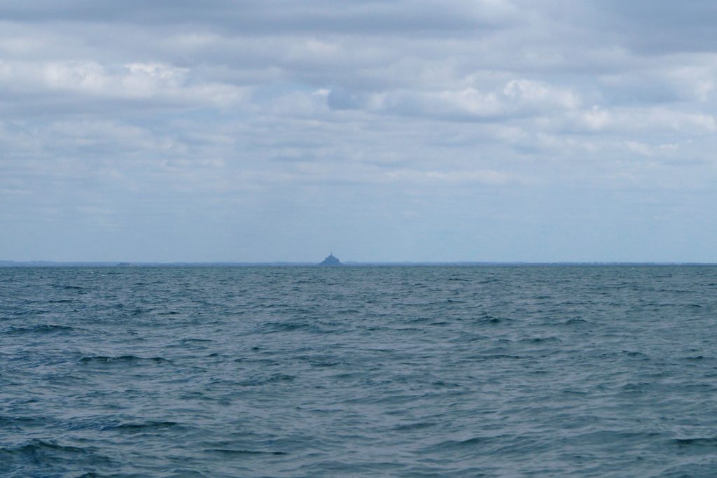
I saw it, my mountain, the Mont-Saint-Michel!!!!
17 August – Diélette
It’s nice to be able to sail more again. From Saint-Malo I sail Northeast between the rocks, not out in the main channel. I have to treat myself to do that again at the end in Brittany, navigating between these hard rocks. Now, unfortunately, the reefs are becoming less frequent. Granville is already Normandy again, even if there are still a few rocky reefs here and there around this Cotentin peninsula (I still can’t pronounce it), especially at Cap La Hague.
The trip to Granville, it is a nice port of call, and of course I’m thrill to see Mont Saint Michel. Granville itself is unfortunately annoying, there are an infinite number of motorboats here, including these large inflatable speedboats for 12 or more people. They only dare to come alongside me once in four days, but their manoeuvres are usually disastrous, so I’m always standing on the jump with a fender. Unfortunately, that is necessary.
There is not much to report about Granville itself. The town looks nicer from the outside. Yes well, the huge tidal range of up to 13 m impressed me again.
The harbour has a sill, of course, otherwise it would look like the second picture. Dry boats and pedestrians in the harbour.
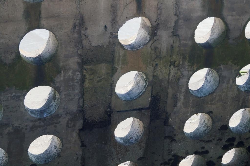
Hard bottom and partly steel parts lying around, I only sail here with a safe depth, which is necessary when the wind is onshore. The sea always faces on the coast and the port entrance. The concrete breakwaters are are widely hollow and constructed with holes, which makes for attractive motifs.
The skyline of Granville seen from the harbour.
The view to the Le Roc from Granville. You can see from at the cloudiness that it’s not good weather. I have a four-hour rainy trip, but if not sailing hard on wind, it is possible not to get the rain from front.
In Granville, I chose Diélette as destination, once because I already knew the conditions there at the entrance, and I was sure of the depths to be found. I just have to plan the arrival 1 hour after low tide. The tide will not be enough anyway at 48 nautical miles, my plan is 6 hours with current and 3 hours against them. It worked out really well. After 9.5 hours I take down the sails and I’m able to enter the harbour to the waiting pontoon at just under 2 m, the access to the actual navy is still blocked by a sill, like everywhere else here on the coast. But at the waiting pontoon in the outer harbour you can wait well protected.
I expierenced a liitle kind of madness on th way to Dielette, I couldn’t believe it for a long time. Southeast of Jersey across the Plateau des Minquiers 3 huge animals swam to me, right forwards the middle of amica. Just in front of my boat, almost within grabbing distance, the three made a dive and dived steeply down. I got an inkling of what that might have been, unfortunately I could only perceive the snout for a moment. But this action was not over yet. The three swam in a semicircle and repeated this manoeuvre from the other side. One of the animals was over 2 m long, very close to it swam 2 smaller ones, yes really, they had to be dolphins. They do such. Unfortunately, I couldn’t watch these three playful creatures any longer, as I still had to steer a boat at a speed of 5.5 knots. But they swam much faster. A short time later, another single very large animal arrived, with the intention of showing me how well its diving manoeuvres work, again fully aimed at the middle of the boat. I sat there holding the tiller and just thought, I’m crazy, or they’re crazy.
Then, at the Flamanville power station just before Diélette, two animals were visibly lying on the surface of the water, wagging their dorsal fins now and then and were not bothered at all when I passed by at a distance of about 5 metres. No, this were not carcasses, because as soon as I had passed, they dived. They are crazy…
In the harbour I was told, that there were some dolphins around Jersey and here at the coast, because of the abundance of fish. That seems to be more important than the water depth of just 12 m. It’s simply amazing to experience something like that.
August 19 – Cherbourg
Yetsreday the way around the Cap de la Hague was very tough. I cannot put it into words and there are no pictures anyway, even two hands are sometimes too few for me. Those who have never experienced a race will not be able to comprehend it anyway. The race Raz Blanchard is notorious, you should drive around it (around Alderney) or only at neaptime. It was three days before neap, current speed about 8 knots, 13.1 knots over ground was my peak speed.
Good amica, poor amica, still gets so tormented in her old age. A Dutch woman this year called amica an old lady to be handled with care at the age of 46. Fortunately, I have strong nerves to get amica through it in one piece – and me too, of course. Once you are in a race, you have to pass it, that takes 40 minutes. After that, calm smooth water, as if this area outraged by anyone driving through it.
My amica leaks! But it’s been for a while and has nothing to do with yesterday’s extreme stress. Today I thoroughly checked my boat, amica came through it fine! I keep discovering salt water in the aft peak under the fuel tank, but not even a teaspoon a day, so I wouldn’t sink. Only, a plywood boat, water should not penetrate. At first, I suspected the various through bolts in the transom (mount for motor and self-steering). But all the paper towels I laid out in various places in the aft peak stayed dry, including those below the cockpit drain pipes. It must be coming from underneath and that’s really sh…., I can’t do anything about it for the time yet.
I have my suspicions about that too. All the bottom plates, i.e. the last plates in front of the keel, are covered from the bow to the end of the keel with a piece of wood at the bottom. Only in the aft area do the starboard and port floor plates butt directly against each other. Years ago, I had to mill a groove there to glue in a wooden strip because of rotten wood. I fear that this is the weak point. Although there is still a wide keelson from the inside and I don’t have to worry about amica drawing too much water. In principle water in the ship means the danger of rotting. So this cannot be postponed for long and must be done next winter.
The day before yesterday, on Friday, I had a nice round of talks with English people in Diélette. Yes, with English people! They came from the Channel Islands of Guernsey and Jersey and from London. It was a somewhat larger group at the Welcome in the Harbour Office. Among other topics like this sailing area, Dolphins and to become a citizen of Guernsey, my trip was also the subject.
It was less about my boat, its size and appearance, and more about how I handle sailing here. After I described the basic data, where from, where along, not to leave the harbour at 5 Bft, not to cruise, to do only day trips if possible and to limit the length of a trip to 30 nautical miles, the answer came pretty quickly that I probably don’t want to win any trophies. But that was meant positively and referred to the duration of my trip. In addition, I seemed to be land-sick, because I forego all comforts and limit myself to an existential minimum.
It was mainly the Londoners – what a miracle – who showed a deep understanding for my living here. They said that this way of life probably had nothing to do with getting out, but rather with searching, with finding oneself. On land, they said, there were so many complex demands and unnecessary obligations that one lost oneself. They would know some sailors in England who were doing something similar I was doing: living on a boat. This includes a great love of the sea – and to the boat.
I have now summarised all this briefly and succinctly, we talked for a good hour. It was a profound and philosophical conversation, and I think there is a lot of truth in it. I could find myself in this characterisation. Land-sick, hmm. Nicely put.
August 21 Saint-Vaast-la-Hougue
The weather has been warm and humid for several days. Now and then there is a rainy day, which I use for these entries. Now these days are becoming more frequent, with zero wind. Whenever a rain front has passed through, an Azores high-pressure wedge builds up again and settles over Brittany. Somehow you are always in the middle of it and without wind. Probably real fronts sweep across the whole of France only happen in winter. Then they there will be north-westerly wind and not this constant weak Southwest.
In Addition, of course, there is the matter of the Coefs, which indicate the water level. The wind directions, like on the North Sea coast, hardly have any noticeable influence at the water level here. Exclusively it is onbly the moon that plays a role for spring- and neaptides. The difference between spring and neap is, for example, 4.60 m at Le Havre and 7.90 m at Saint-Malo. For each tide there is a coefficient, short called Coef, which can be use for calculation, but it is not necessary. There are tables in the Bloc Marine for each area of the channel which show you the water level. The water level is well accurate.
Most portes, i.e. gates, which protect a harbour from falling dry, have opening times from 2 hours before to 2 hours after high water. This makes it difficult to enter during the neaptide because there is simply not enough water, often up to 2 m less at high water. When you leave a harbour shortly before high tide, you can usually only enter a new harbour 10 hours later. 10 hours! That’s enough to cross the Bay of Seine. This is why almost everyone sails from Cherbourg straight to Le Havre or Fecamp. Even with the doldrums calm, I will make the 53 nautical miles to Le Havre, chugging again if necessary. Also, Le Havre is accessible at all times.
Even yesterday I could only drive by engine, weak winds (west 1-2 Bft) from astern don’t work at all, everything just flaps in the swell. And of course, this conditions had existed by rounding Point de Barfleur. In addition, there was more of a current sea, sometimes races, but at absolute neaptime the current reaches only 3 knots. As always, that’s handy for the way east.
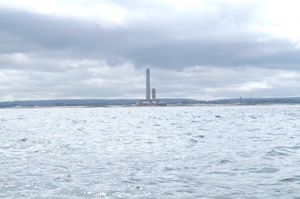
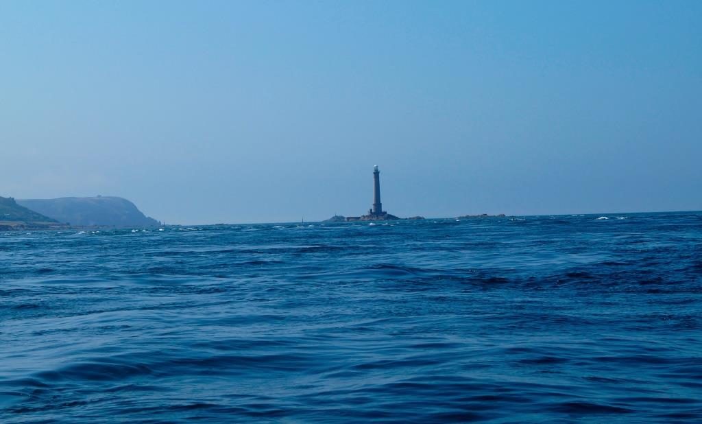
The Phare de Gatteville at Point de Barfleur. It is one of the 3 largest lighthouses in the world.
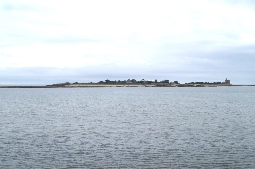
The island of Tatihou, as always with history and corresponding visitor traffic.
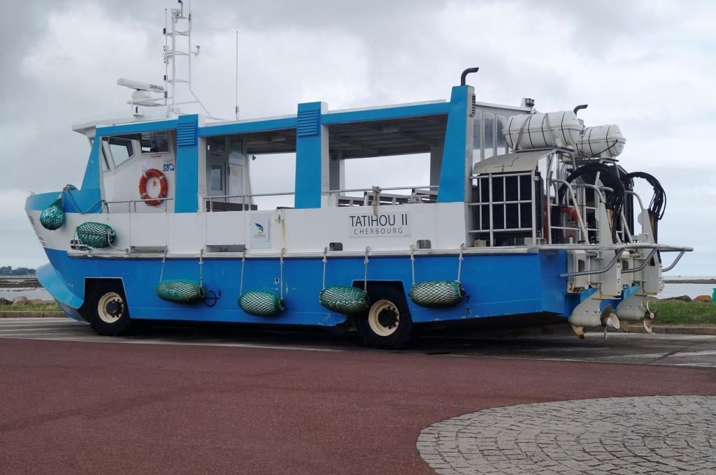
The ferry is really something. At low tide, it not only uses a route over the seabed, no, it also travels 600 m over roads, without brake lights and always with fenders outboard.
Saint-Vaast is a centre for oyster fishing in Normandy.
August 25 – Le Havre
A long exhausting tour lies behind me, from St. Vaast to here it takes almost 11 hours. We set off in the night, zero wind and annoying bustle. Setting the mainsail as a brake didn’t help much. Only at the end there was a bit of speed on top, because a few gusts of 3 Bft came in. I’m back on easterly longitude, feels like home to me, but there is still a long way to go.
A few night shots.
Really dark, I mainly followed the plotter and compass.
But you can make out a little.
Now I take a compulsory break in Le Havre, because the wind has now increased west-to-north-west with up to 5, 6 and 7 Bft, as predicted. This gave me the opportunity to seal the leak aft from inside. It is only a temporary solution, because I has to from outside. I was also able to save my main halyard, which had crashed into the masthead. Two Leningrad people cranked me into the mast. I was able to pull the halyard down again quite easily. Luckily it didn’t go through, but got stuck up there.
A few days ago, I write, that a fronts of a low-pressure only passes through and then a high-pressure wedge spreads out again with zero wind, well, now it’s different. Several fronts are chasing each other over the whole of France and half of Europe. The wind is strong, 7-9 Bft last night, which shook the rig quite a bit. And it has become noticeably colder. All over France the temperature dropped by 10°. It feels more bearable, but sailing is not possible at all, because the sea is getting very high. It seems somehow familiar, only I’m three weeks later than in 2016.
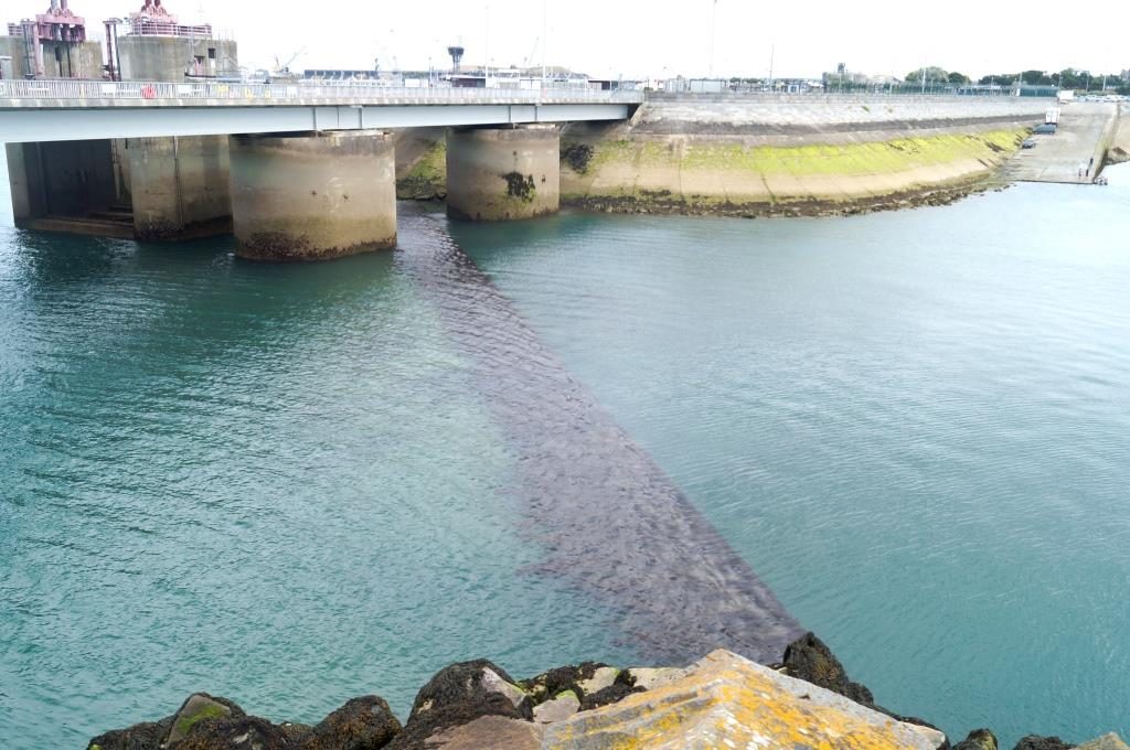
The breakwater is 5 to 6 m high!
Here in Le Havre I meet one of those French sailing events where you can admire the “heroes of France”. At least that’s how it is marketed, although there are a few non-French people there too. The event is called “La Solitaire Urgu le figaro” and is a single-handed offshore regatta on these high-tech racers. It will be sailed in four stages from 26 August to 14 September, once 570 nautical miles in the Channel (across to England, up to Cornwall’s western tip, then Brittany’s western tip and back around Guernsey to Saint Brieuc). The 2nd stage goes from there to Galicia (540 nautical miles). The 3rd then back to Saint Gilles north of La Rochelle (440 nautical miles) and there only a triangle of 165 nautical miles will be sailed. Each of the long trips take three days, the triangle one day. You can only dream of such distances. They sail on Beneteau Figaros, about 10 m long and, as I said, single-handed. Speeds of 15 to 20 knots are quite achievable.
This is definitely a different sailing world, tougher, extreme and spectacular – and above all expensive. Only professionals sail there, because no amateur (they are also not allowed) can afford such a thing. They do nothing else their whole lives and are paid/endured for it. The marketing is correspondingly flashy.
It has nothing to do with relaxation and deceleration, but is pure adrenaline. The so-called Formula 1 of the sailing world. How this can be marketed (target group?) and whether it pays off – except for participants – I don’t know.* In any case, the multi-day circus (sales booths, information stands, stages, merry-go-rounds) is only moderately attended here on land. Everyone has their sponsors, there are enough advertising spaces on the boats.
*I just heard on the pontoon, that this mainly marketed by the media, sold to big TV stations. The target group would then be the sofa sailors, daydreaming away from home but never really seen water. Urgo (sponsor) can then sell those plasters or whatever else they need.
That’s just right, I’m currently dealing with the opposite, and thinking about sentences like:
In Europe, they march through the long tunnel of performance towards well-defined targets. The modern horde marches in rank and file, driven by the social steamroller that runs over anyone who wants to stop on the hard shoulder. Fatou Diome – The Belly of the Ocean
Babylon: higher, faster, further, more successful, richer and, above all, being a winner. Our culture recognizes no failure, making mistakes and admitting it, or apologising.
August 27 – Fecamp
Bach to the north coast.
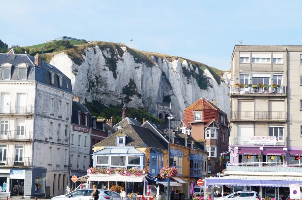
Etretat: if they would bleach the cliff here once, it can be just as photogenic as on the other side of the channel.
I can always admire the entrance to Fecamp in strong westerly winds (up to 8 Bft at night). Last night, no one was able to get a good night’s sleep here, because unfortunately the waves rolled directly right in the harbour basin.
I couldn’t resist looking at the tracks of the Figaros (La Solitaire regatta). They really sailed from Le Havre to the east of the Isle of Wight in only 6 hours, average speed 15 to 16 knots by 7 to 8 Bft. Five of these boats already had to give up due to breakage, with 36 starters I think that’s quite a lot.
September 02 – Calais
Now I’ve turned back into the North Sea. That’s not quite right, because the official border between the Channel and the North Sea runs about 5 nautical miles east of here. But for me it is North Sea, because this is where the sandy coast with sandbanks, beaches and dunes begins. And this stretches all the way up to Skagen.
Compared to the previous weeks, I was making relatively good progress now. The wind is usually light, so there were many stages could be done not only under sail. After all, I’m 80 nautical miles further. Now this late summer is coming again with sun, morning haze or fog and of course northeasterly winds. Probably I’ll treat myself to the fun of cruising against the wind along the coast. That is, if there isn’t too much wind. It always goes with the fcurrent, which means wind against current.
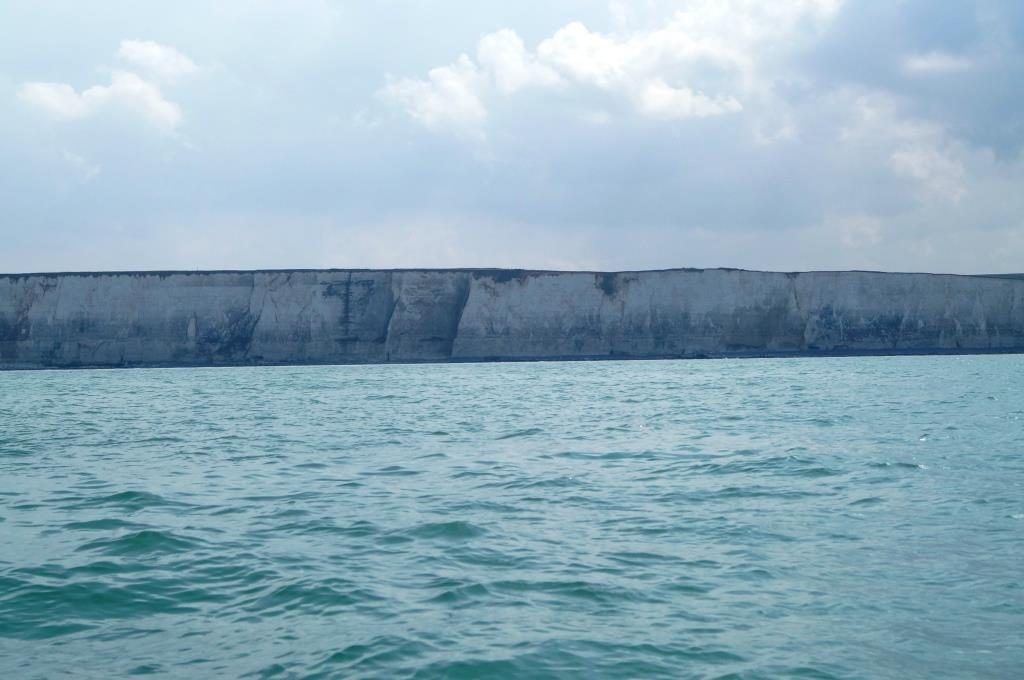
The beautiful cliffs just before Le Treport. They start from the harbour Le Treport excursions to there. That’s what they call alabaster coast. I would rather say that if they were to bleach it once, it could easily compete with Beachy Head or the 7 brothers and sisters. To me, it looks rather mossy and unpolished.
To say goodbye, I captured a few pictures of the enormous tidal range.
Dieppe up and Dieppe down
And because it is so beautiful. Le Treport with water and Le Treport without water
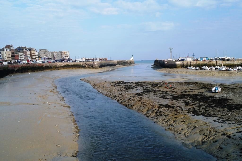
Le Treport completely empty
In addition, there was also something else to discover
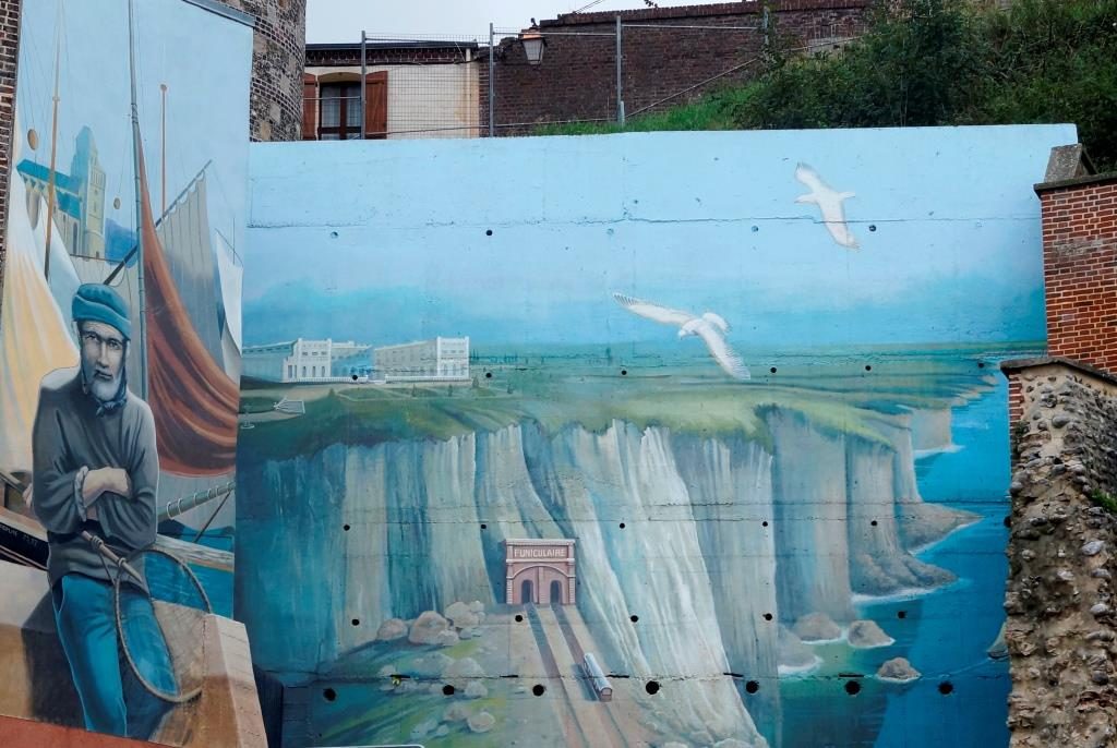
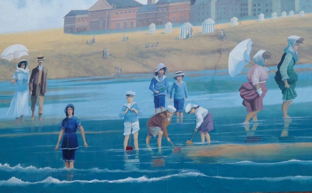
Wall paintings
The wall behind the houses
My amica is still swimming.
This time there are no pictures of Boulogne-sur-mer. On the relatively short distance of 19 nautical miles to here, I already was allowed learning to cross once. Unfortunately, I had to use the engine for the last hour, the wind kept shifting around the Cap Griz Nes, which is frustrating, as I was already looking for a good sailinghard on wind to Calais. Calais itself has a gate with opening hours for the last time. So I hurry there.
First half winds shortly after the start from Boulogne-sur-mer. Much (water) noise about nothing. Even if it sounds different, I was only sailing about 3 knots. 2 Bft, that’s about as good as it gets, luckily the current went in the correct direction.
Near the cap, the wind shifts more and more. I could not reach the cap in a direct way and so I had to make 2 cross strokes before it.
And here it goes The last miles